Antônio Dias
Digital Passport
Nomenclature and Geography
Category: City / Municipality
Summary
About the place: Antônio Dias is a Brazilian municipality located in the state of Minas Gerais in the Southeastern Region of the country. Founded in the early 18th century, it has a history deeply rooted in gold mining and natural heritage.
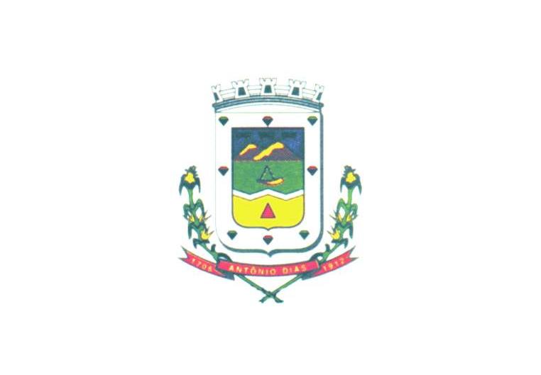
Flag Description: The flag consists of a white rectangular field with the municipal coat of arms centered upon it. The coat of arms features a shield topped with a mural crown, flanked by plant branches, and underlined by a red ribbon with the municipality's name and the dates 1706 and 1912.
Symbolism: The white field represents peace and purity. The coat of arms in the center symbolizes the municipality's history, local landscape, agriculture, and key historical dates of settlement and emancipation.
Statistics
Area
787.06 km²
Population
9,270