Běleč (Brno-Country District)
Digital Passport
Nomenclature and Geography
Category: City / Municipality
Summary
About the place: Běleč is a small rural municipality in the Brno-Country District, South Moravian Region, Czechia, situated in the Upper Svratka Highlands within the Svratecká hornatina Nature Park, roughly 10 km north of Tišnov. It also encompasses the village of Křeptov.
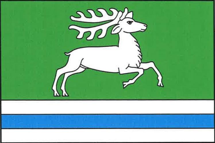
Flag Description: The flag consists of four horizontal stripes: green, white, blue, and white, in a width ratio of 7 : 1 : 1 : 1. In the upper broad green stripe, a white stag is running towards the fly. The ratio of flag width to length is 2 : 3.
Symbolism: The green field represents the surrounding forested landscape and hills of the Svratecká hornatina Nature Park, while the white stag signifies the local wildlife and hunting heritage. The white and blue stripes in the lower portion symbolize the watercourses flowing through the municipality (notably the Bělečský and Křeptovský streams), corresponding to the base with wavy stripe in the municipal coat of arms.
Statistics
Area
4.03 km²
Population
205