Běstvina
Digital Passport
Nomenclature and Geography
Category: City / Municipality
Summary
About the place: Běstvina is a municipality in Chrudim District in the Pardubice Region, located at the foot of the Iron Mountains in a picturesque rural setting.
Flag Description: Běstvina is a municipality and village in Chrudim District in the Pardubice Region of the Czech Republic, situated at the foothills of the Iron Mountains (Železné hory) near the Pařížov Reservoir. The landscape has a predominantly rural and forested character and encompasses several surrounding hamlets.
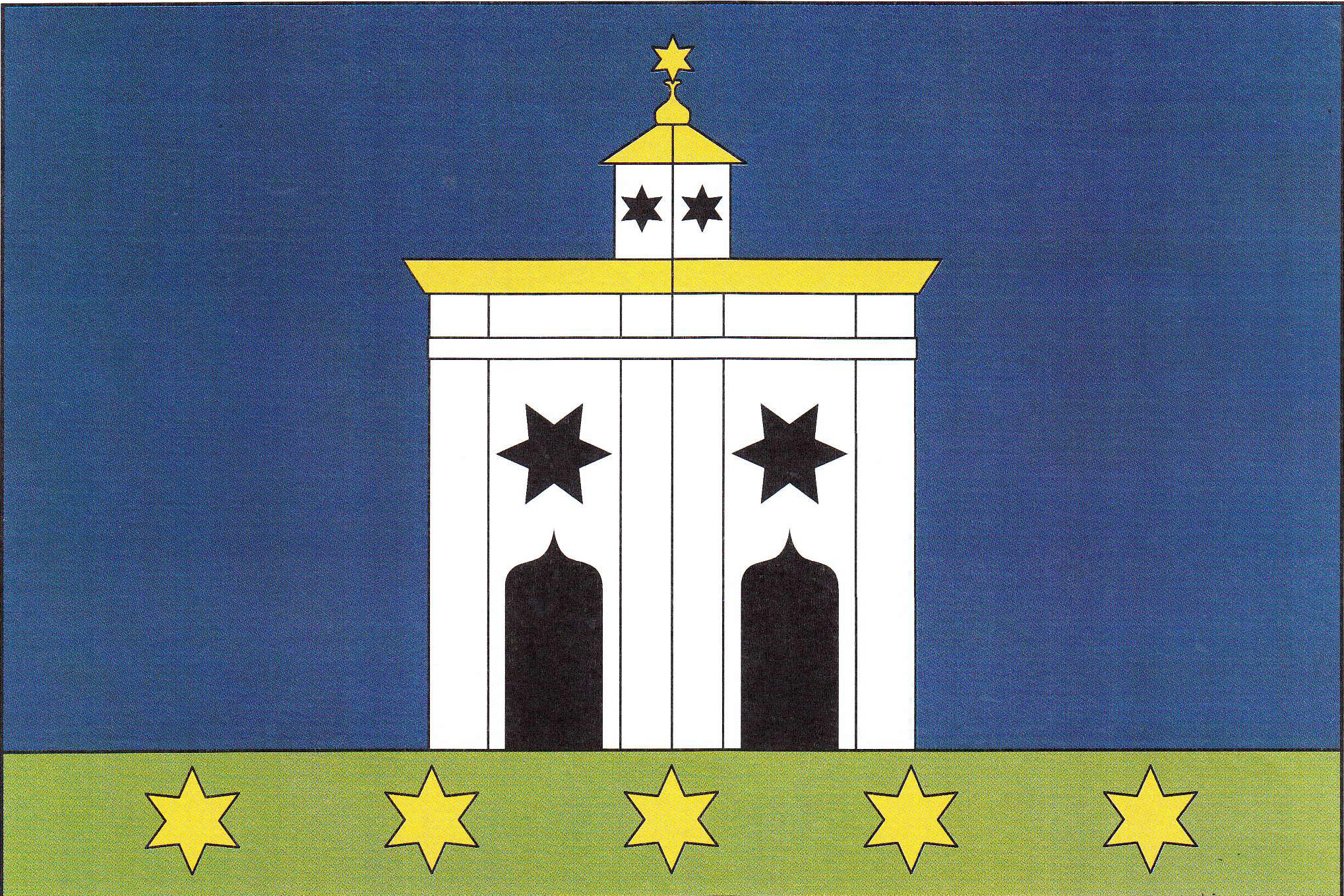
Symbolism: The central charge of both the flag and the coat of arms depicts the architecturally unique Baroque-Gothic Chapel of St. John of Nepomuk in Běstvina (built in the Santini style after 1720), noted for its six-pointed star ground plan. The six-pointed stars depicted on the facade, lantern, and spire echo this star-shaped plan and represent the traditional attribute of Saint John of Nepomuk. The green stripe symbolizes the surrounding nature, meadows, and forests of the Iron Mountains foothills, while the blue represents the sky and local waterways (notably the Doubrava River).
Flag Description: Běstvina is a municipality and village in Chrudim District in the Pardubice Region of the Czech Republic, situated at the foothills of the Iron Mountains (Železné hory) near the Pařížov Reservoir. The landscape has a predominantly rural and forested character and encompasses several surrounding hamlets.
Symbolism: The central charge of both the flag and the coat of arms depicts the architecturally unique Baroque-Gothic Chapel of St. John of Nepomuk in Běstvina (built in the Santini style after 1720), noted for its six-pointed star ground plan. The six-pointed stars depicted on the facade, lantern, and spire echo this star-shaped plan and represent the traditional attribute of Saint John of Nepomuk. The green stripe symbolizes the surrounding nature, meadows, and forests of the Iron Mountains foothills, while the blue represents the sky and local waterways (notably the Doubrava River).
Statistics
Area
14.08 km²
Population
562