Bílá Lhota
Digital Passport
Nomenclature and Geography
Category: City / Municipality
Summary
About the place: Bílá Lhota is a municipality located in the Olomouc District of the Olomouc Region in the Czech Republic, situated approximately 9 km northwest of Litovel. It is renowned primarily for the Bílá Lhota Arboretum, situated adjacent to the local chateau, which boasts a rich dendrological collection.
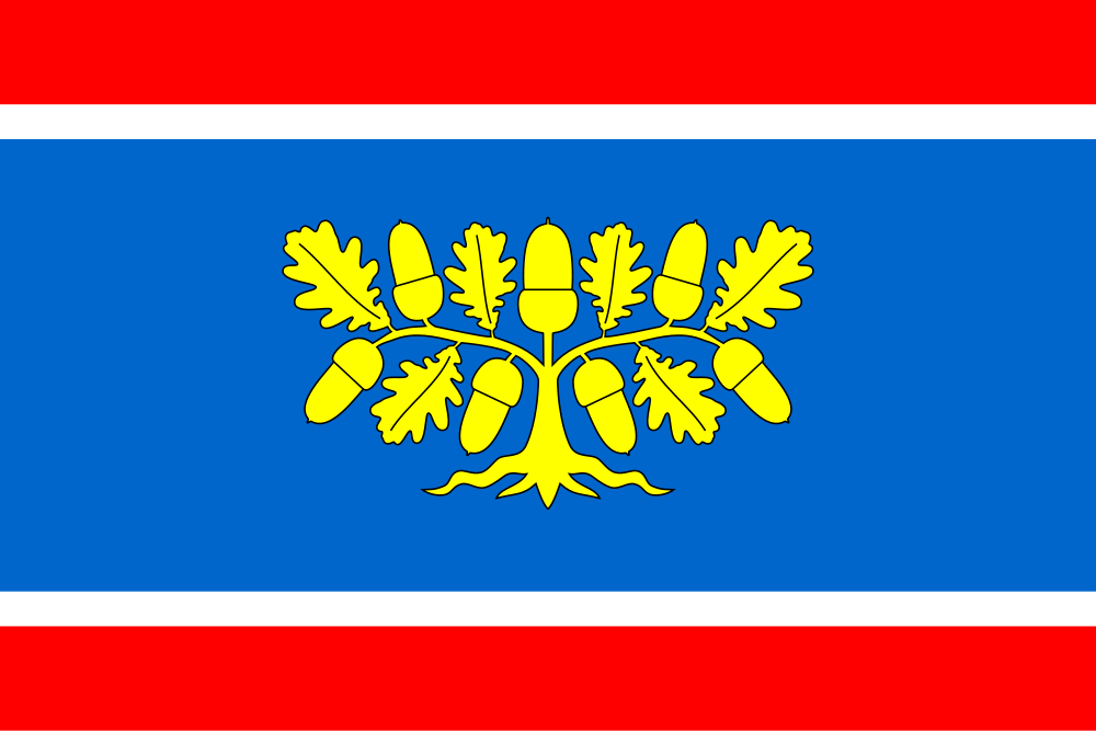
Flag Description: Bílá Lhota is a municipality located in the Olomouc District of the Olomouc Region in the Czech Republic, situated approximately 9 km northwest of Litovel. It is renowned primarily for the Bílá Lhota Arboretum, situated adjacent to the local chateau, which boasts a rich dendrological collection.
Symbolism: The yellow uprooted oak in the central blue stripe represents the area's rich forests and specifically the celebrated Bílá Lhota Arboretum. The red and white flanking stripes are derived from the lower, silver-and-red field of the municipal coat of arms (which features a mill cogwheel symbolizing historic watermills), while also reflecting traditional regional colors.
Statistics
Area
18.22 km²
Population
1,166