Bítov (Znojmo District)
Digital Passport
Nomenclature and Geography
Category: City / Municipality
Summary
About the place: Municipality in the South Moravian Region near the Vranov Reservoir, known for the historic Bítov Castle.
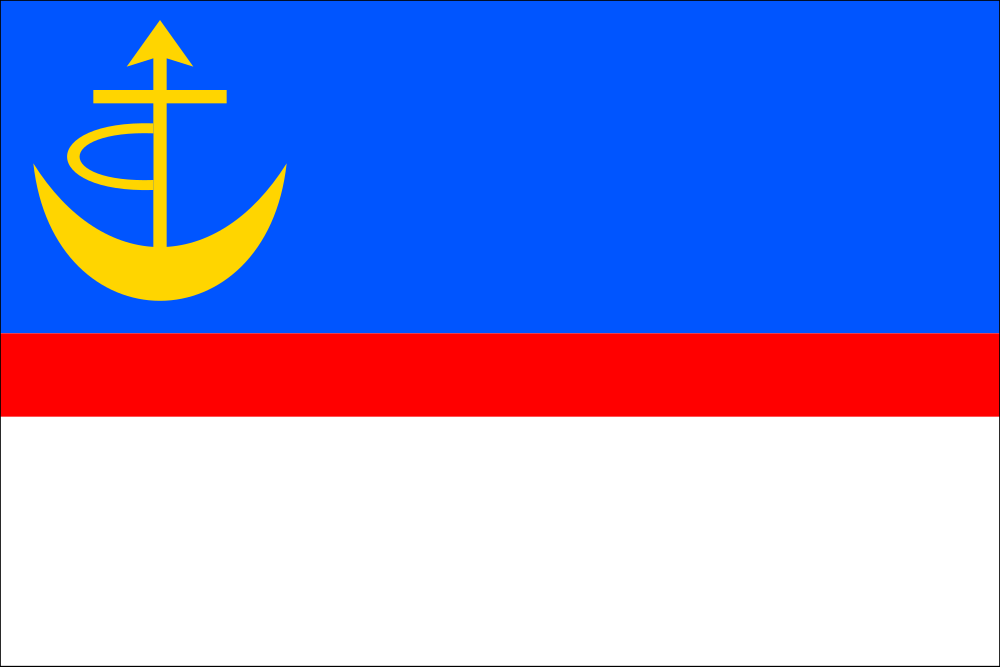
Flag Description: Bítov is a municipality in the Znojmo District within the South Moravian Region of the Czech Republic, situated in the Jevišovice Uplands above the confluence of the Želetavka and Thaya (Dyje) rivers near the Vranov Reservoir and the prominent medieval Bítov Castle. The original historic market town in the valley was submerged during the construction of the reservoir in the 1930s, after which a new planned village was built on the plateau above.
Symbolism: The flag is derived from the municipal coat of arms granted in 2006. The blue, red, and white stripes correspond to the tinctures of the shield and castle tower in the arms. The yellow charge in the blue stripe represents a historical merchant's or property mark (Czech: 'merka') found on the ancient seals of the historic market town of Bítov, composed of an upward-pointing crescent, an arrow with a crossbar below the point, and an attached arc.
Statistics
Area
6.07 km²
Population
142