Blansko
Digital Passport
Nomenclature and Geography
Category: City / Municipality
Summary
About the place: Blansko is an industrial town and district seat in the South Moravian Region of the Czech Republic, situated along the Svitava River north of Brno. It is famously known as the "Gateway to the Moravian Karst" due to its immediate proximity to the renowned karst reserve with its caves and the Macocha Abyss.
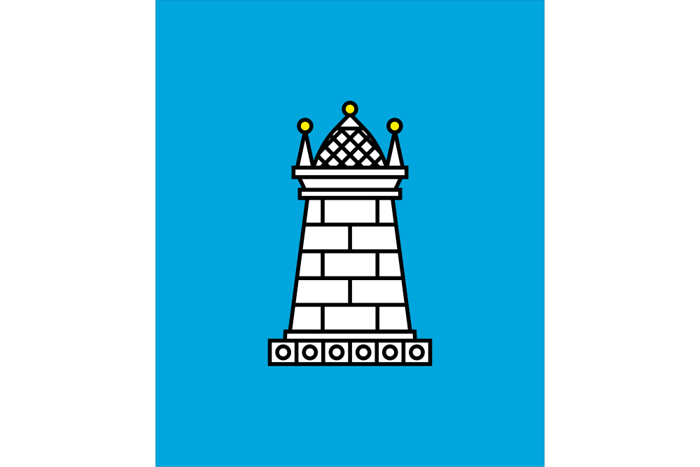
Flag Description: The flag consists of three vertical stripes of white, blue, and white in the width ratio of 2:5:2. Centered on the wider blue stripe is a white, tapering ashlar tower with a domed roof surmounted by a central cone tipped with a yellow finial and flanked by two smaller side finials. The aspect ratio of the flag is 2:3.
Symbolism: Adopted in 1997, the flag directly derives from Blansko's historical coat of arms. The white ashlar defensive tower set in the blue field symbolizes fortitude, municipal security, defense, and urban status, while the blue and white (silver) colors reflect the town's historical allegiance to the Bishopric of Olomouc, under whose jurisdiction Blansko developed for centuries.
Statistics
Area
44.97 km²
Population
20,002