Břeclav
Digital Passport
Nomenclature and Geography
Category: City / Municipality
Summary
About the place: Břeclav is a district town in the South Moravian Region of the Czech Republic, situated on the Thaya (Dyje) River near the borders with Austria and Slovakia. It serves as an important international railway junction and a gateway to the UNESCO-listed Lednice–Valtice Cultural Landscape and local floodplain forests.
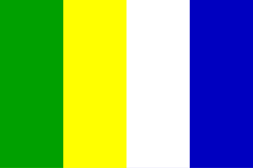
Flag Description: The flag consists of four equal vertical stripes of green, yellow, white, and blue. The aspect ratio is 2:3.
Symbolism: The colors are derived from the tinctures of the historical municipal coat of arms, which features a golden lion and a silver tower on a green triple mount in an azure field. Green represents the fertile South Moravian countryside, vineyards, and alluvial forests; yellow (gold) symbolizes warmth, sunshine, and prosperity; white (silver) represents the town's fortifications and purity; and blue stands for the Thaya (Dyje) River and regional waterways.
Flag Description: The flag consists of four equal vertical stripes of green, yellow, white, and blue. The aspect ratio is 2:3.
Symbolism: The colors are derived from the tinctures of the historical municipal coat of arms, which features a golden lion and a silver tower on a green triple mount in an azure field. Green represents the fertile South Moravian countryside, vineyards, and alluvial forests; yellow (gold) symbolizes warmth, sunshine, and prosperity; white (silver) represents the town's fortifications and purity; and blue stands for the Thaya (Dyje) River and regional waterways.
Statistics
Area
77.17 km²
Population
23,656