Břežany II
Digital Passport
Nomenclature and Geography
Category: City / Municipality
Summary
About the place: Břežany II is a municipality in the Kolín District in the Central Bohemian Region, located about 5 km northeast of Český Brod. It has around 900 inhabitants and is set in a flat agricultural landscape.
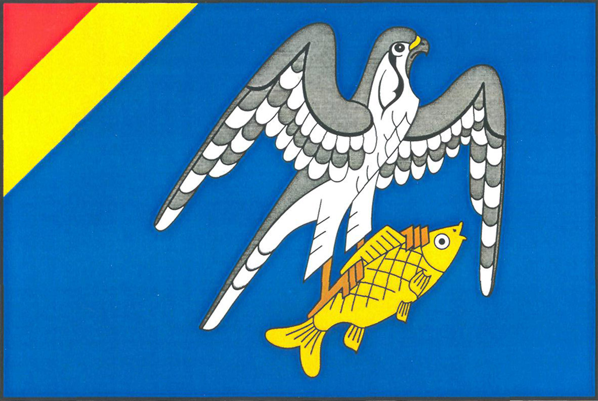
Flag Description: Břežany II is a municipality in the Kolín District in the Central Bohemian Region of the Czech Republic, situated in the fertile Elbe lowland roughly five kilometres northeast of Český Brod. It has a primarily agricultural and rural residential character.
Symbolism: The falcon catching a fish in the blue field refers to the village's watercourse (the Výrovka stream) and its name origin (derived from 'břeh', meaning bank or shore), as well as the historic arms of the local nobility (the Šonovský of Šonov family). The red and yellow (gold) diagonal division in the upper hoist corner represents the princely House of Liechtenstein, which held the estate from 1623 until 1850. The blue field represents water. The symbols were designed by heraldist Jan Kasík and approved in 2007.
Statistics
Area
9.11 km²
Population
923