Caçu
Digital Passport
Nomenclature and Geography
Category: City / Municipality
Summary
About the place: Caçu is a municipality located in the southwestern part of the state of Goiás, Brazil. The region is known for its agricultural sector, focusing primarily on farming and livestock production.
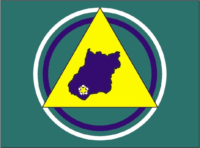
Flag Description: The flag consists of a green field featuring a central circular emblem. It comprises an outer white ring and an inner dark blue ring. Superimposed over the rings is a large yellow triangle pointing upwards. Inside the yellow triangle is a dark blue silhouette map of the state of Goiás, with a yellow star on a white and yellow background located in its southwestern region, marking the location of the municipality of Caçu.
Symbolism: The green background represents the region's natural wealth and agriculture. The yellow triangle and circular elements represent growth and unity, while the map of the state of Goiás with a star highlights the geographic location and identity of the municipality of Caçu within the state.
Statistics
Area
2,251.00 km²
Population
16,188