Caturaí
Digital Passport
Nomenclature and Geography
Category: City / Municipality
Summary
About the place: Caturaí is a Brazilian municipality located in the central part of the state of Goiás. It is a small agricultural municipality situated within the Goiânia metropolitan area.
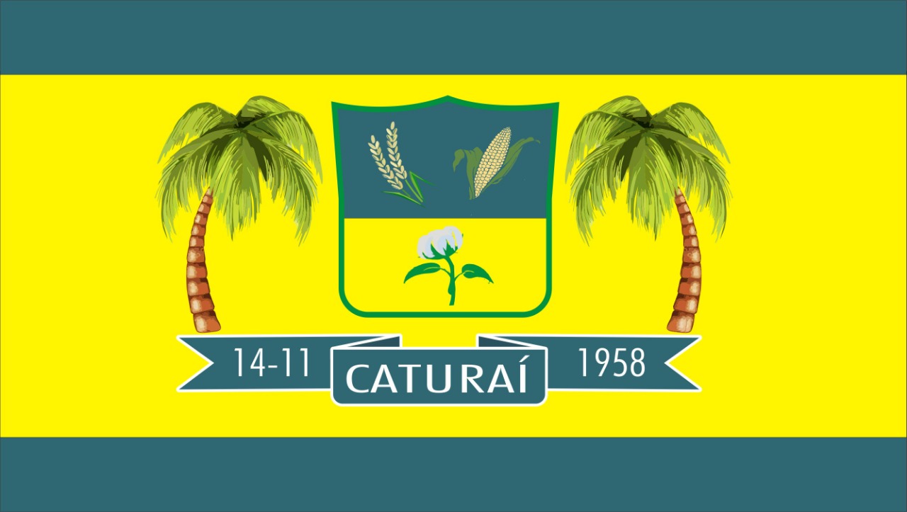
Flag Description: The flag consists of three horizontal bands: a dark teal, a broad yellow, and a dark teal band. In the center of the yellow field is a green-bordered shield horizontally divided. The upper teal field displays rice stalks on the left and an ear of corn on the right. The lower yellow field displays a cotton branch with an open boll. The shield is flanked by two palm trees with green fronds and brown trunks. Below the shield is a dark teal ribbon bearing the white inscriptions '14-11', 'CATURAÍ', and '1958'.
Symbolism: The agricultural crops on the shield (rice, corn, and cotton) along with the palm trees represent the backbone of the local economy and natural heritage. The date '14-11-1958' on the ribbon commemorates the official foundation day of the municipality of Caturaí.
Statistics
Area
207.15 km²
Population
5,024