Chlumětín
Digital Passport
Nomenclature and Geography
Category: City / Municipality
Summary
About the place: Chlumětín is a small rural municipality situated in the northernmost part of the Žďár nad Sázavou District in the Vysočina Region of Czechia, within the Žďárské vrchy Protected Landscape Area. Nestled in the rolling forested terrain of the Bohemian-Moravian Highlands, it is characterized by its quiet countryside atmosphere and traditional agricultural landscape.
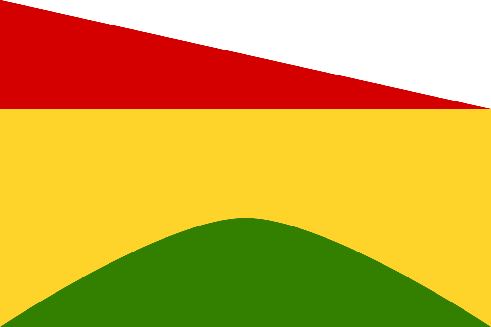
Flag Description: The flag consists of two horizontal stripes, the upper one divided diagonally per bend into red and white, and the lower yellow, in a width ratio of 1:2. Issuing from the bottom edge of the fly is a green hill (chlum). The flag aspect ratio is 2:3.
Symbolism: The green hill is a canting charge directly referencing the municipality's name (derived from the archaic Czech term "chlum", meaning a forested hill or ridge) while also representing the undulating landscape of the Bohemian-Moravian Highlands. The yellow color denotes agriculture, while the red-and-white diagonal division in the upper stripe reflects historical allegiance to the Kingdom of Bohemia as well as ties to the former Rychmburk estate.
Statistics
Area
6.64 km²
Population
227