Chotěšice
Digital Passport
Nomenclature and Geography
Category: City / Municipality
Summary
About the place: Chotěšice is a municipality in Nymburk District in the Central Bohemian Region of the Czech Republic, situated roughly 17 km northeast of Poděbrady and 18 km east of Nymburk. It lies in a predominantly flat, agricultural and pond-dotted lowland landscape.
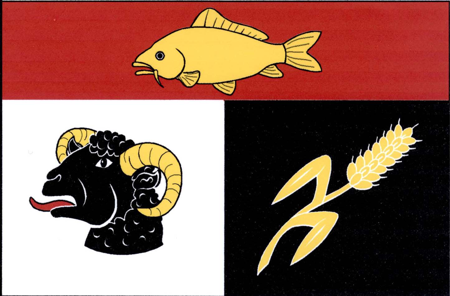
Flag Description: The flag consists of a red horizontal stripe along the top edge, one-third of the flag's width, and two vertical stripes of equal width in the lower two-thirds, white at the hoist and black at the fly. In the red stripe is a yellow carp swimming towards the hoist. In the white stripe is a black ram's head with yellow horns (attire) and a red tongue. In the black stripe is a bendwise yellow ear of grain with two leaves. The ratio of the flag's width to length is 2:3.
Symbolism: The yellow carp in the upper stripe symbolizes the regional tradition of pond management and freshwater fishing. The black ram's head represents the historical practice of livestock farming, particularly sheep breeding. The yellow ear of grain signifies the village's agricultural heritage and the fertility of the local soil. The colours are directly derived from the official municipal coat of arms.
Statistics
Area
22.51 km²
Population
325