Chroboly
Digital Passport
Nomenclature and Geography
Category: City / Municipality
Summary
About the place: Chroboly is a rural municipality in the Prachatice District of the South Bohemian Region, situated in the forested landscape of the Bohemian Forest foothills southeast of Prachatice.
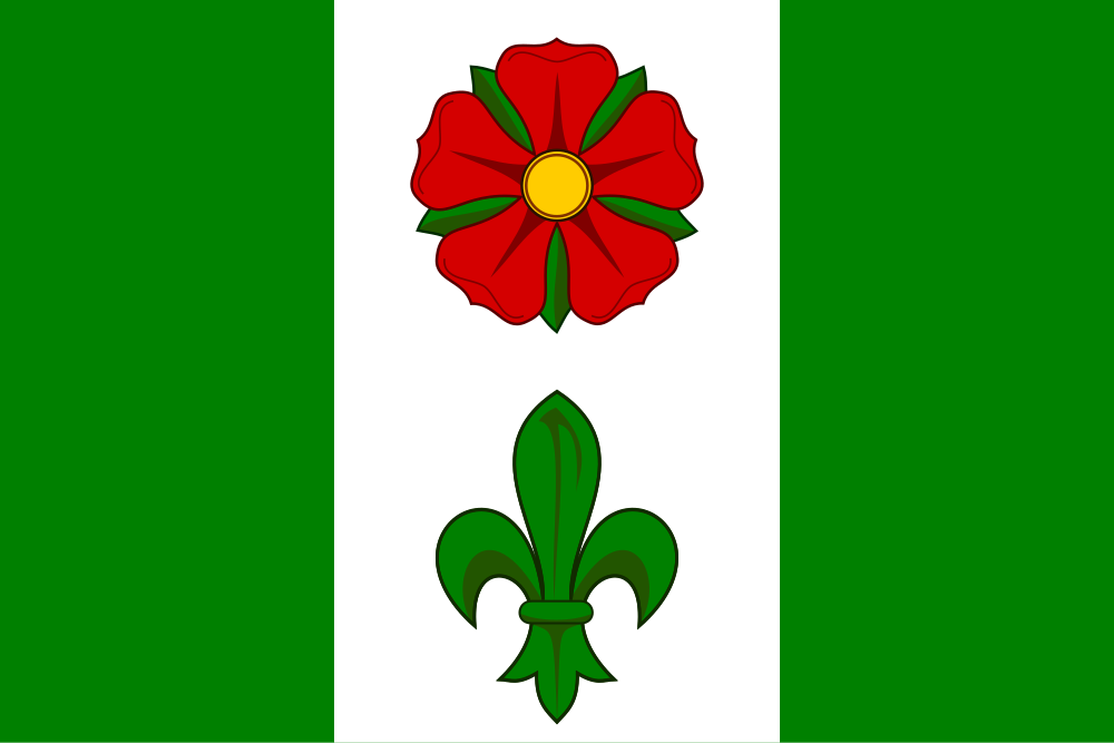
Flag Description: A rectangular flag with an aspect ratio of 2:3, vertically divided into three stripes of green, white, and green in a width ratio of 3:4:3. Centered within the white stripe are a red rose with a yellow seed and green sepals at the top, and a green fleur-de-lis at the bottom.
Symbolism: The red five-petaled rose recalls the historical rule of the Lords of Rosenberg (Rožmberk). The green fleur-de-lis is a Marian symbol representing the local parish Church of the Nativity of the Virgin Mary, as well as the historic ties to the Cistercian Golden Crown Monastery (Zlatá Koruna). The green stripes represent the surrounding forests and nature of the Bohemian Forest foothills, while white reflects the silver tower from the municipal coat of arms.
Statistics
Area
34.68 km²
Population
601