Crissiumal
Digital Passport
Nomenclature and Geography
Category: City / Municipality
Summary
About the place: Crissiumal is a municipality located in the northwestern region of the state of Rio Grande do Sul, Brazil. It is recognized as an important agricultural center known for crop production and livestock farming.
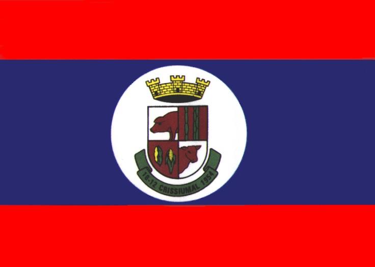
Flag Description: The flag consists of three horizontal stripes: red, blue, and red, with the central blue stripe being wider. In the center of the flag is a white circular disc containing the municipal coat of arms. The coat of arms features a shield topped by a golden mural crown. The shield is quartered: the first quarter shows a pig's head, the second features vertical stripes/logs, the third contains two ears of corn, and the fourth shows a cattle head. Below the shield is a green ribbon bearing the black inscription '18-12 CRISSIUMAL 1954'.
Symbolism: The blue and red colors on the flag symbolize determination, strength, and justice. The emblem inside the white circle highlights the agricultural identity of the municipality—pig and cattle farming, along with corn cultivation, represent the pillars of the local economy. The mural crown represents municipal status, and the date on the ribbon marks its official establishment.
Statistics
Area
362.10 km²
Population
12,886