Dětřichov nad Bystřicí
Digital Passport
Nomenclature and Geography
Category: City / Municipality
Summary
About the place: Dětřichov nad Bystřicí is a municipality situated in the Nízký Jeseník mountain range in the Bruntál District, along the Bystřice River. It lies in a forested upland area at an altitude of approximately 628 metres above sea level and is served by the Olomouc–Opava railway line.
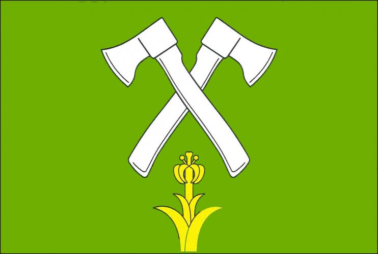
Flag Description: A green field charged with two crossed white axes, between whose hafts a natural yellow lily issuant from the bottom edge of the flag. The width-to-length ratio is 2:3.
Symbolism: The green background represents the extensive surrounding forests of the Nízký Jeseník range. The crossed axes symbolize the village's historical origin as a forestry, logging, and charcoal-burning settlement. The natural yellow lily issuing between the ax handles conveys growth and traditional Marian symbolism, referencing historical ties to the Olomouc Bishopric and the Šternberk estate.
Statistics
Area
28.29 km²
Population
397