Dlouhé
Digital Passport
Nomenclature and Geography
Category: City / Municipality
Summary
About the place: The municipality of Dlouhé is located in the Žďár nad Sázavou District within the Vysočina Region, roughly 10 km southeast of Nové Město na Moravě. It is a small rural community in the Křižanov Highlands.
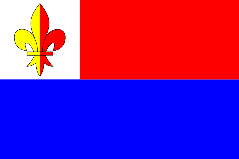
Flag Description: Dlouhé is a municipality in the Žďár nad Sázavou District of the Vysočina Region, situated in the Křižanov Highlands approximately 10 km southeast of Nové Město na Moravě. It is a quiet rural village set in the picturesque undulating landscape of the Bohemian-Moravian Highlands.
Symbolism: The municipal symbols are derived from historic seals and noble heraldry. The yellow-red parted fleur-de-lis in the white canton is taken from the municipality's oldest known seal from 1749, which depicts Saint Florian holding a pennon charged with this lily. The white, red, and blue colors reflect the municipal coat of arms and honor the Kratzer von Schönsberg family, former historical lords of the estate.
Statistics
Area
8.44 km²
Population
257