Dobrá Voda
Digital Passport
Nomenclature and Geography
Category: City / Municipality
Summary
About the place: Dobrá Voda is a municipality in the Pelhřimov District of the Vysočina Region, situated approximately 7 km southeast of Pelhřimov. It has a population of around 200 residents.
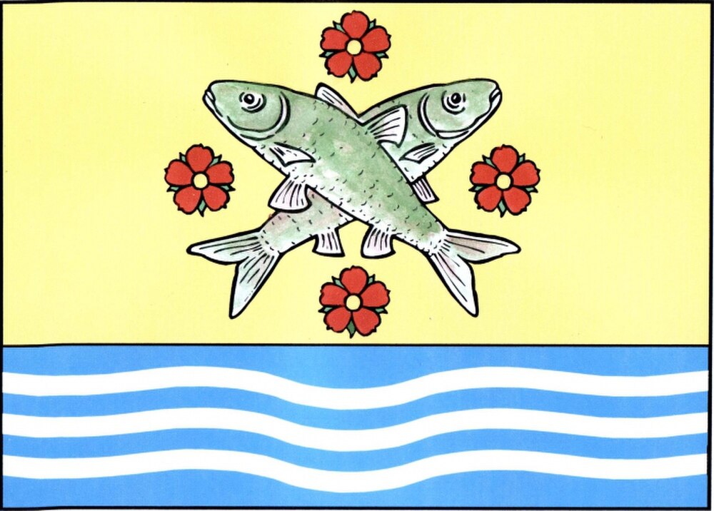
Flag Description: Dobrá Voda is a municipality and village located in the Pelhřimov District within the Vysočina Region of the Czech Republic, approximately 7 km southeast of Pelhřimov in the Křemešník Highlands. Situated at an elevation of around 643 m above sea level, it is a small rural community surrounded by rolling forested hills.
Symbolism: The white-fimbriated blue stripe serves as a canting symbol referencing the municipality's name Dobrá Voda ('Good Water'—fresh springs and clear streams). The green stripes symbolize the surrounding forested landscapes and agricultural heritage of the Bohemian-Moravian Highlands. The crossed mining hoes (heart-shaped mattocks) commemorate the historical silver and ore mining activities in the Křemešník region.
Statistics
Area
8.41 km²
Population
202