Dobroslavice
Digital Passport
Nomenclature and Geography
Category: City / Municipality
Summary
About the place: Dobroslavice is a municipality in the Opava District within the Moravian-Silesian Region of the Czech Republic, situated in the rolling hills of the Nízký Jeseník range northwest of Ostrava and near Lake Hlučín. It is a predominantly residential village featuring a historic castle park, reflecting its past as an aristocratic estate seat.
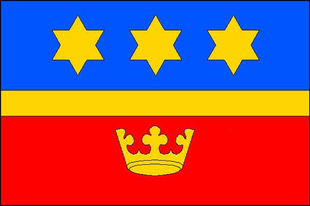
Flag Description: The flag consists of three horizontal stripes of blue, yellow, and red in a width ratio of 7 : 2 : 7. The upper blue stripe features three yellow six-pointed stars arranged side by side, and the lower red stripe bears a yellow crown. The flag's aspect ratio is 2 : 3.
Symbolism: The municipal symbols reflect the village's history and core values. The golden crown in the red field commemorates the historic status of Dobroslavice as a seignorial estate seat, particularly under the noble Giannini family. The three golden six-pointed stars in the blue field symbolize health, good fortune, new life, and noble deeds. The central yellow stripe represents the golden fess from the coat of arms.
Statistics
Area
7.24 km²
Population
782