Dolní Dvořiště
Digital Passport
Nomenclature and Geography
Category: City / Municipality
Summary
About the place: Dolní Dvořiště is a South Bohemian border municipality in the Český Krumlov District, situated near the Novohradské Mountains along the Czech-Austrian border. It is known primarily as a major road and rail border crossing with a rich history tied to the House of Rosenberg.
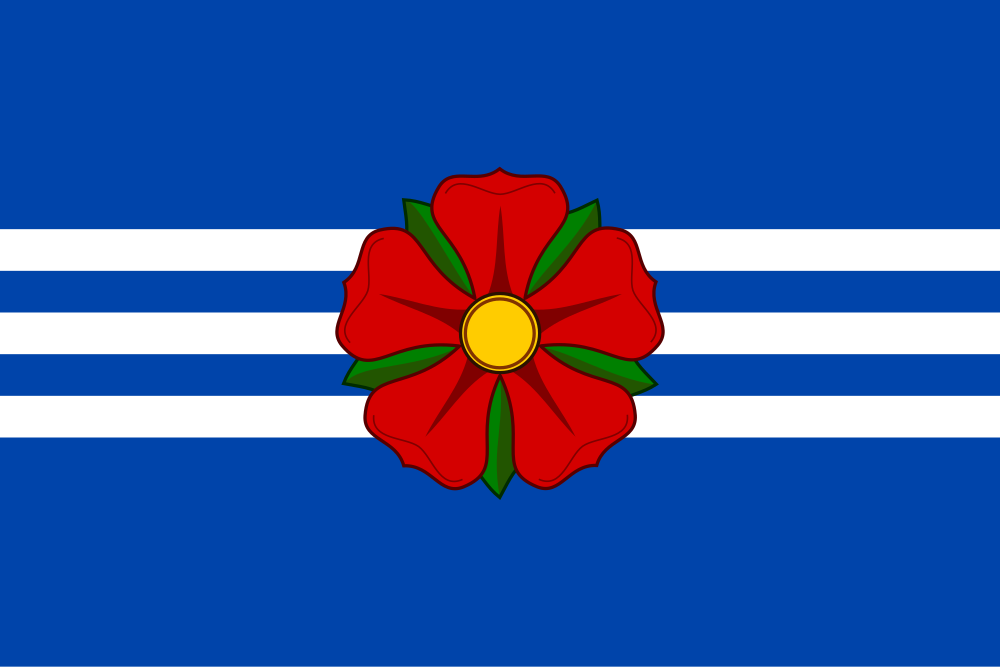
Flag Description: Dolní Dvořiště is a border municipality in the South Bohemian Region (Český Krumlov District), situated in the foothills of the Novohradské Mountains and Bohemian Forest foothills on a major road and railway corridor to Austria.
Symbolism: The red five-petaled rose with a yellow seed and green sepals is the heraldic badge of the House of Rosenberg, who granted municipal privileges and a seal to the settlement in 1500. The blue and white (silver) stripes derive from the tinctures of the municipal coat of arms and also symbolize the waterways of the area, notably the Malše River.
Statistics
Area
90.01 km²
Population
1,388