Dolní Dvůr
Digital Passport
Nomenclature and Geography
Category: City / Municipality
Summary
About the place: Dolní Dvůr is a mountain municipality located in the valleys of the Malé Labe and Klínový Streams in the central Krkonoše (Giant Mountains), situated in the Trutnov District within the Hradec Králové Region. Most of its territory lies within the Krkonoše National Park, serving as a quiet year-round mountain resort.
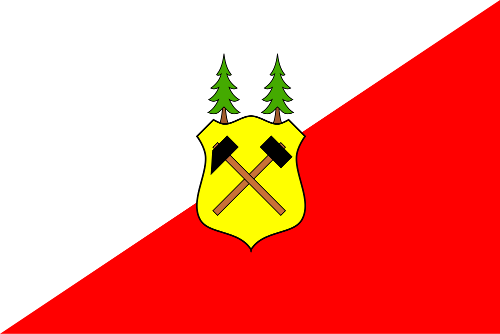
Flag Description: The flag is divided per bend sinister (from the upper fly corner to the lower hoist corner) into white and red. In the center of the sheet is a yellow escutcheon displaying crossed black mining hammers on brown handles, from the upper edge of which sprout two green coniferous trees with brown trunks. The width-to-length ratio of the flag is 2:3.
Symbolism: The crossed mining hammers symbolize the municipality's rich heritage of silver and iron ore mining dating back to the 16th century, which led to the settlement's establishment. The coniferous trees represent the surrounding forests of the Krkonoše Mountains and the traditional forestry and timber trade that sustained the local population. The white and red fields reflect historical heraldic traditions of the Czech lands and the region.
Statistics
Area
15.29 km²
Population
255