Dolní Krupá
Digital Passport
Nomenclature and Geography
Category: City / Municipality
Summary
About the place: Dolní Krupá is a municipality in the Mladá Boleslav District of the Central Bohemian Region, located approximately 6 km northwest of Mnichovo Hradiště. It is a quiet rural community distinguished by the Baroque Church of Saint Wenceslaus and traditional regional architecture.
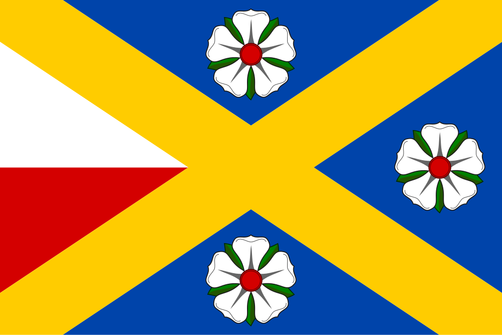
Flag Description: Dolní Krupá (Mladá Boleslav District) is a municipality located in the rolling countryside of the Central Bohemian Region near Mnichovo Hradiště, on the border of the Kokořínsko – Máchův kraj Protected Landscape Area. This quiet rural village, dating back to the 13th century, features traditional folk architecture and the Baroque Church of Saint Wenceslaus.
Symbolism: The blue field and the yellow saltire (derived from the crossed raguly staff of the Lords of Dauba and the lance) reflect the area's historical nobility, including the Wallenstein family. The white and red horizontal stripes in the hoist partition represent the banner of Saint Wenceslaus, patron saint of the local parish church. The three white roses symbolize the local legend of the knight's three daughters as well as historical regional heraldic ties.
Statistics
Area
11.20 km²
Population
248