Dolní Moravice
Digital Passport
Nomenclature and Geography
Category: City / Municipality
Summary
About the place: Submontane recreational municipality in Bruntál District, situated in the Moravice River valley in the Jeseníky Protected Landscape Area.
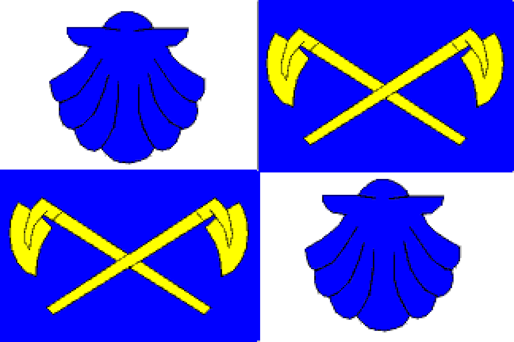
Flag Description: Dolní Moravice is a submontane municipality situated in Bruntál District within the Moravian-Silesian Region, located along the Moravice River within the Jeseníky Protected Landscape Area. Comprising the local parts Dolní Moravice, Horní Moravice, and Nová Ves, the community serves as a popular tourist and recreation hub in the vicinity of the Hrubý Jeseník mountain range.
Symbolism: The white (silver) and blue colors represent the Moravice River and the montane environment of the Jeseníky region. The blue pilgrim shells (scallops) in the white fields symbolize Saint James the Great, the patron saint of the local parish church. The crossed yellow (golden) mining picks in the blue fields honor the area's historical mining heritage, particularly the extraction of ores in the constituent village of Nová Ves.
Statistics
Area
22.22 km²
Population
366