Dymokury
Digital Passport
Nomenclature and Geography
Category: City / Municipality
Summary
About the place: Dymokury is a municipality in the Nymburk District of the Central Bohemian Region, situated in the flat agricultural and pond landscape of the Elbe lowlands about 15 km northeast of Nymburk. The village is known for its Baroque chateau and surrounding pond system fed by the Štítarský stream.
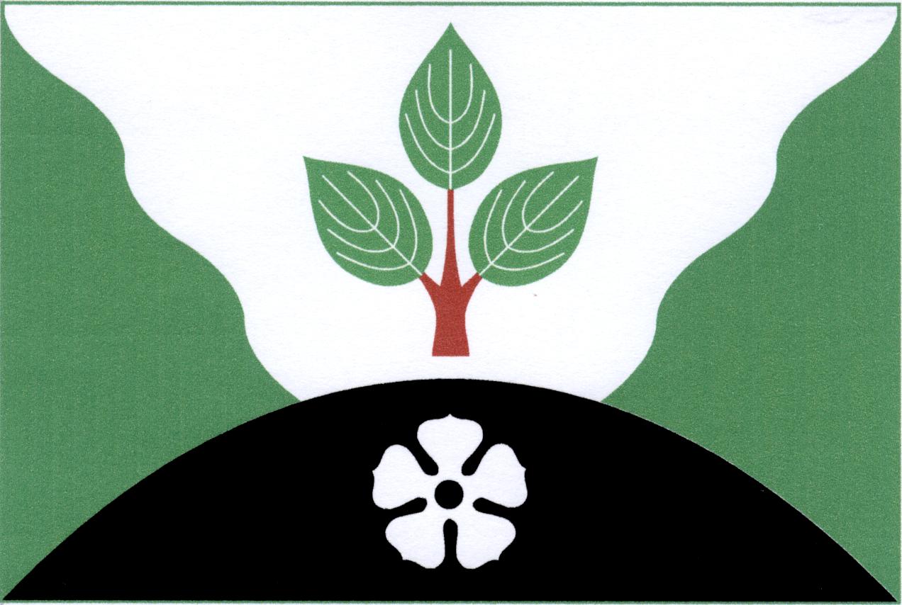
Flag Description: A green field with a white wavy pile issuing from the top edge, superimposed at the bottom edge by a black hill one-third the width of the flag. Within the pile is an erect red dogwood branch bearing three green leaves (1, 2). Within the hill is a white rose with a black seed. The ratio of the flag is 2:3.
Symbolism: The white wavy pile represents the local water bodies and pond system on the Štítarský stream. The erect red dogwood branch alludes to the historic heraldic arms of the Lords of Dymokury. The black hill with the white rose is derived from the coat of arms of the Czernin noble family, former owners of the Dymokury estate. The green field represents the agricultural character and surrounding countryside.
Statistics
Area
14.65 km²
Population
908