Dynín
Digital Passport
Nomenclature and Geography
Category: City / Municipality
Summary
About the place: Dynín is a South Bohemian municipality in České Budějovice District located in the flat Blata landscape, comprising the villages of Dynín and Lhota. It features traditional rural architecture and an agricultural character.
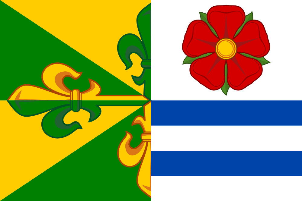
Flag Description: Dynín is a South Bohemian municipality situated in České Budějovice District within the flat, pond-dotted Blata region, approximately 9 km southwest of Veselí nad Lužnicí and 22 km northeast of České Budějovice. The municipality also includes the village of Lhota.
Symbolism: The red five-petaled rose with a yellow seed button refers to the historical rule of the House of Rosenberg. The blue bars represent the waterways and fishponds typical of the Blata pond-basin landscape. The half cross flory in green and yellow reflects local sacred heritage (Church of St. Wenceslas); green symbolizes agriculture and surrounding nature, while yellow (gold) stands for fertility and prosperity.
Statistics
Area
13.13 km²
Population
380