Francova Lhota
Digital Passport
Nomenclature and Geography
Category: City / Municipality
Summary
About the place: Francova Lhota is a submontane municipality in Vsetín District in the Zlín Region of the Czech Republic, located in the southern Wallachia region near the border with Slovakia. It encompasses the village of Pulčín, home to the notable Pulčín Rocks National Nature Reserve.
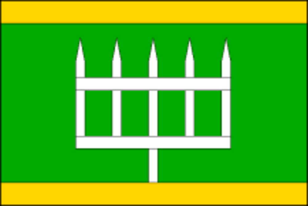
Flag Description: Francova Lhota is a municipality and village in Vsetín District in the Zlín Region of the Czech Republic, situated in the Beskydy Protected Landscape Area near the Javorníky and White Carpathians ranges along the border with Slovakia. The municipality also includes the village of Pulčín, known for the scenic sandstone labyrinth of the Pulčín Rocks (Pulčínské skály).
Symbolism: The green field and yellow stripes (derived from the green shield and golden hill of the municipal coat of arms) represent the surrounding Wallachian landscape, forested hills, and agricultural heritage. The white barrier (turnpike / border gate) symbolizes the village's historic borderland role protecting the frontier between Moravia and the Kingdom of Hungary (now Slovakia).
Statistics
Area
22.86 km²
Population
1,463