Fryšták
Digital Passport
Nomenclature and Geography
Category: City / Municipality
Summary
About the place: Fryšták is a Moravian town situated in the Zlín District of the Zlín Region, nestled at the transition between the Hostýn-Vsetín Highlands and the Vizovice Highlands along the Fryštácký Stream. It combines a picturesque submontane setting with close proximity to the regional center of Zlín.
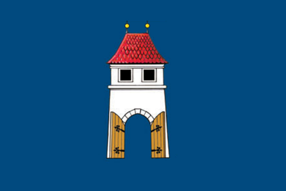
Flag Description: A blue field with a central white tower featuring a red hipped roof with two yellow finials, two black windows, and an open gate with yellow door wings. The width-to-length ratio of the sheet is 2:3.
Symbolism: The flag is directly derived from the municipal coat of arms, which was officially approved in 1997 (the flag followed in 1998). The white tower with an open gate and golden finials traditionally symbolizes municipal status, defensive strength, hospitality, and civic security. The blue field evokes fidelity and regional waters, while the red roof and gold accents underscore the historic dignity of the town.
Statistics
Area
24.17 km²
Population
3,834