Gouvelândia
Digital Passport
Nomenclature and Geography
Category: City / Municipality
Summary
About the place: Gouvelândia is a municipality located in the southern part of the state of Goiás, Brazil. It is situated in an agricultural region near the Paranaíba River.
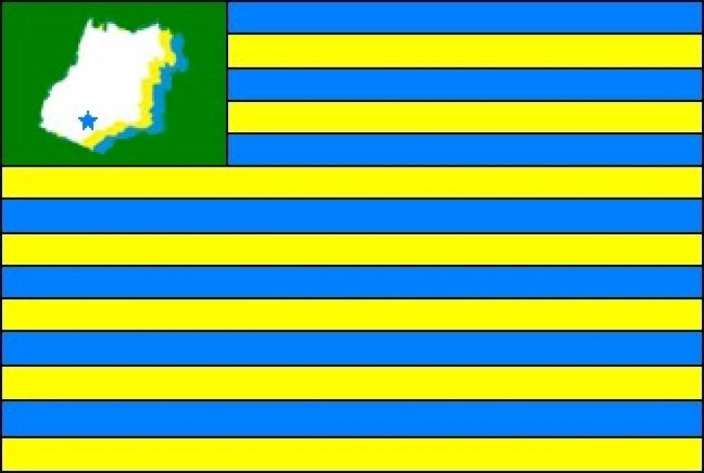
Flag Description: The flag consists of thirteen horizontal stripes alternating in blue and yellow (seven blue and six yellow). In the upper hoist canton (upper left from the viewer's perspective) is a green rectangular canton. Inside the green canton is a white map of the state of Goiás with yellow and blue shadowing on the right, featuring a blue five-pointed star in its southern part indicating the municipality's location.
Symbolism: The alternating blue and yellow stripes, along with the green canton, refer to the traditional colors and state flag of Goiás. The green color symbolizes natural wealth and agriculture. The white map represents the state of Goiás, with the blue star marking the exact geographical location of the municipality of Gouvelândia in its southern region.
Statistics
Area
830.77 km²
Population
5,890