Grygov
Digital Passport
Nomenclature and Geography
Category: City / Municipality
Summary
About the place: Grygov is a municipality situated in the Olomouc Region within the fertile Haná lowland, approximately 7 km southeast of Olomouc. It has an agricultural and residential character, traversed by the major Olomouc–Přerov railway line.
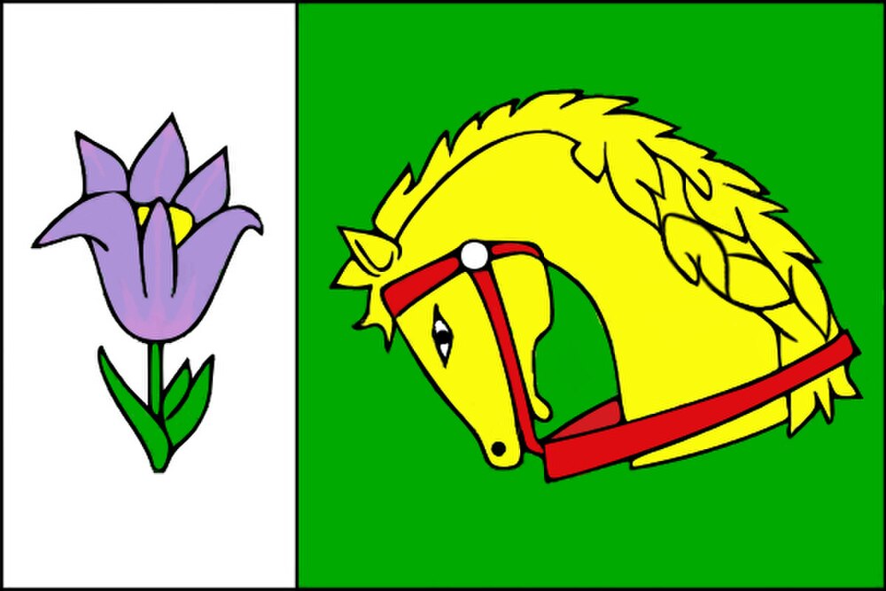
Flag Description: The flag consists of a white vertical hoist stripe occupying one-third of the fly length, and a green fly field. The white stripe bears a natural-coloured pasqueflower blossom, while the green field displays a yellow horse's head with neck, saddled with a red halter and bridle. The width-to-length ratio is 2:3.
Symbolism: The golden horse's head on a green field highlights the agricultural heritage and horse breeding tradition in the Haná region, with green representing fertility and the surrounding floodplain forests. The pasqueflower represents the rare and protected thermophilic flora found in local nature reserves near Grygov.
Statistics
Area
12.72 km²
Population
1,532