Grymov
Digital Passport
Nomenclature and Geography
Category: City / Municipality
Summary
About the place: Grymov is a small municipality in the Přerov District of the Olomouc Region, located in the flat Haná plain along the Bečva River about 5 km northeast of Přerov. It was founded in 1787 by parceling out a former manorial estate.
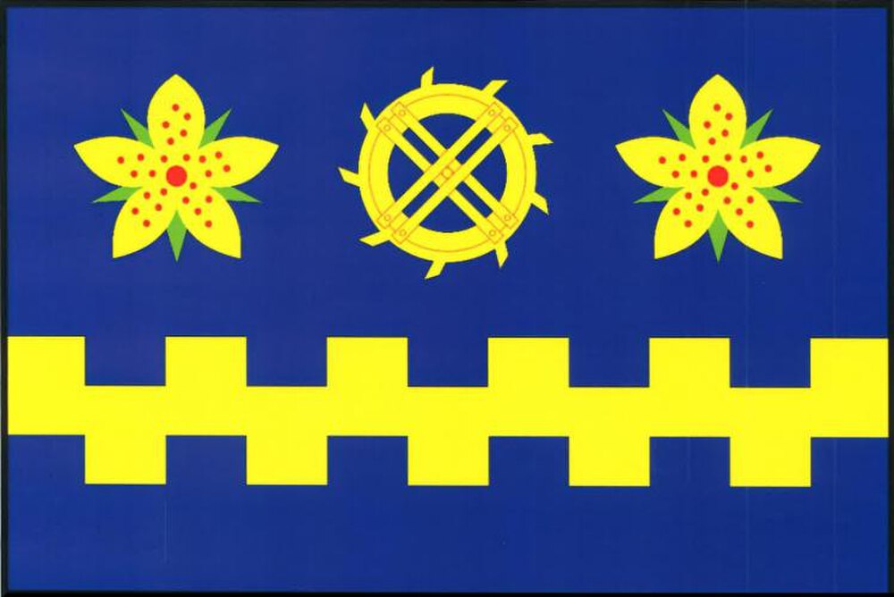
Flag Description: Grymov is a small municipality in the Přerov District of the Olomouc Region, Czechia, situated in the fertile Haná region along the Bečva River northeast of Přerov. The village was established in 1787 through the parceling out of a former manorial farm.
Symbolism: The blue color and indented division symbolize the Bečva River flowing through the area. The flowers of St. John's wort (Hypericum perforatum) represent the local chapel dedicated to St. John the Baptist as well as the surrounding natural landscape. The mill wheel commemorates the historic watermill in the settlement of Hloží, annexed to Grymov upon its foundation in 1787. The indented yellow stripe corresponds to the embattled fess from the municipal coat of arms.
Statistics
Area
1.04 km²
Population
162