Gyomaendrőd
Digital Passport
Nomenclature and Geography
Category: City / Municipality
Summary
About the place: Gyomaendrőd is a town in Békés County, Hungary, situated along the Hármas-Körös River in the Great Hungarian Plain. It was formed in 1982 through the merger of the settlements Gyoma and Endrőd.
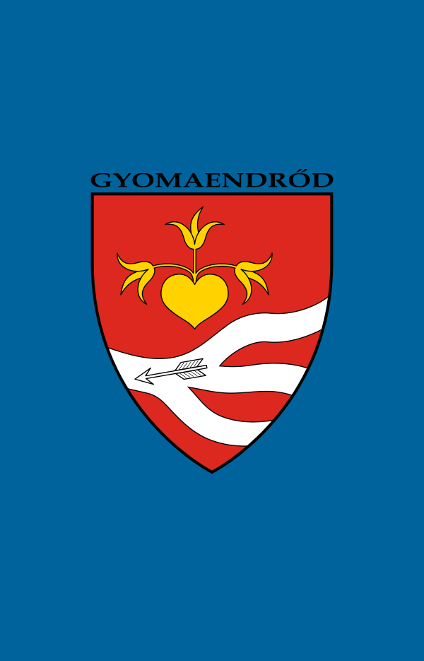
Flag Description: A blue field featuring the municipal coat of arms in the center, topped with the black inscription 'GYOMAENDRŐD'. The shield is red with a golden heart sprouting three lilies, and a white wavy heraldic stripe in the lower part crossed by a silver arrow pointing to the left.
Symbolism: The heart with lilies and the arrow derive from the historical seals and heraldry of the merged towns Gyoma and Endrőd. The wavy bands represent the Hármas-Körös River and its branches flowing through the town.
Statistics
Area
303.94 km²
Population
12,400