Habrůvka
Digital Passport
Nomenclature and Geography
Category: City / Municipality
Summary
About the place: Habrůvka is a municipality in the Blansko District of the South Moravian Region, situated in the Moravian Karst Protected Landscape Area. The village is surrounded by forests and located near Křtiny and the Býčí skála Cave.
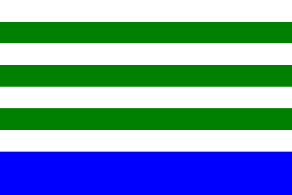
Flag Description: Habrůvka is a municipality and village in the Blansko District of the South Moravian Region, situated in the Drahany Highlands within the Moravian Karst Protected Landscape Area, close to Křtiny and the notable archaeological cave site of Býčí skála. Surrounded by extensive woodlands, it maintains a quiet rural character.
Symbolism: The colours and stripes of the flag are derived from the municipal coat of arms granted in 1995 (designed by Dalibor Res). The green and white (silver) colours represent the canting charge of three green hornbeams (Czech 'habr') in a silver pile—symbolising the name of the municipality and the surrounding forest landscape—as well as the silver woodcutters' axes taken from the historical village seal. The wider blue stripe at the bottom represents the blue field of the coat of arms.
Statistics
Area
9.95 km²
Population
417