Hamry
Digital Passport
Nomenclature and Geography
Category: City / Municipality
Summary
About the place: Hamry is a rural municipality in the Chrudim District of the Pardubice Region, situated approximately 3 km southeast of Hlinsko in the Chrudimka River valley on the northern edge of the Žďárské vrchy Protected Landscape Area. The settlement is set amid forested highlands and lies just downstream of the eponymous Hamry Reservoir.
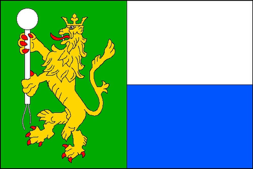
Flag Description: A flag with an aspect ratio of 2:3, divided vertically into two stripes in a 1:2 width ratio: a blue hoist stripe and a wavy-edged white fly stripe. The blue stripe charges two crossed white blacksmith's hammers. The white stripe charges a green uprooted spruce tree with a brown trunk, surmounted across the trunk by a blue horizontal cloud.
Symbolism: The crossed hammers are canting charges referring to the municipality's name (Hamry means 'hammer mills' / water-powered ironworks). The blue field and wavy line symbolize the Chrudimka River and the local Hamry Reservoir. The uprooted green spruce evokes the surrounding forests and forestry of the Žďár Hills, while the blue cloud represents the clean upland air and mountain climate.
Statistics
Area
3.82 km²
Population
226