Hartmanice
Digital Passport
Nomenclature and Geography
Category: City / Municipality
Summary
About the place: Hartmanice is a town in the Klatovy District of the Plzeň Region, situated on the slopes of Hamižná Hill in the Bohemian Forest foothills. Historically a prominent gold-mining and customs settlement along the salt trade route, it is now an attractive base for visitors exploring the Šumava region.
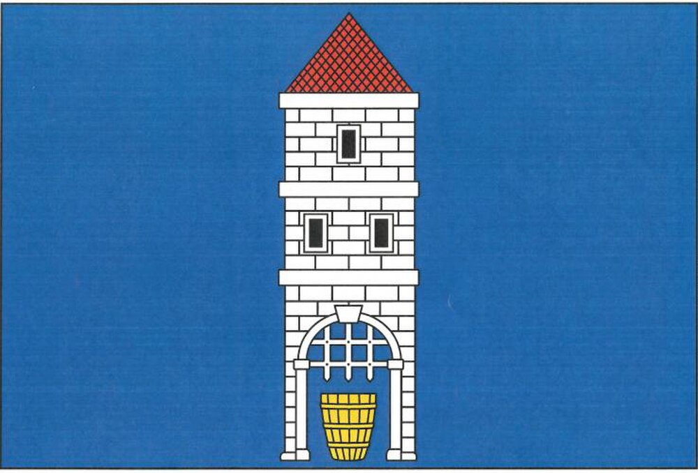
Flag Description: Hartmanice is a small mountain town in the Klatovy District of the Plzeň Region, located in the Bohemian Forest foothills on the slopes of Hamižná Hill at an elevation of about 712 metres above sea level. Originally founded as a customs post on a branch of the medieval Golden Trail (Březnice branch) and later renowned as a royal free gold-mining town, today it serves as a gateway to the Bohemian Forest (Šumava) National Park.
Symbolism: The flag is directly derived from the town's historical coat of arms granted after Hartmanice was elevated to a royal free gold-mining town in 1320. The masonry tower with an open gate and raised portcullis represents municipal rights, fortification, and defensive duties. The golden salt barrel (prostice) placed inside the portal symbolizes the town's origins as a customs and weighing station on the medieval salt trade route (a branch of the Golden Trail) connecting Bavaria to Bohemia. The blue field represents loyalty, clarity, and the surrounding mountain landscape of the Bohemian Forest.
Statistics
Area
62.20 km²
Population
922