Hatín
Digital Passport
Nomenclature and Geography
Category: City / Municipality
Summary
About the place: Hatín is a municipality in the Jindřichův Hradec District in the South Bohemian Region of the Czech Republic, situated southwest of Jindřichův Hradec in the forested, pond-rich landscape of the Třeboň Basin. Its extensive municipal territory also includes the hamlets of Jemčina and Stajka.
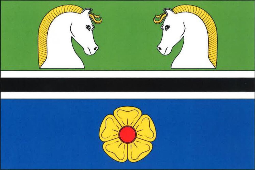
Flag Description: The flag consists of five horizontal stripes: green, white, black, white, and blue, in a width ratio of 10 : 1 : 2 : 1 : 10. In the upper green stripe are two couped white horse heads respecting each other with yellow manes, and in the lower blue stripe is a yellow rose with a red center. The ratio of the flag width to its length is 2 : 3.
Symbolism: The golden rose on a blue field refers to the Lords of Hradec (Vítkovci branch), who historically owned the estate. The horse heads represent the local horse breeding tradition and the constituent village of Stajka (historically connected with stables serving the nearby Jemčina hunting lodge). The black stripe fimbriated white alongside the blue color symbolizes local watercourses (especially the Nežárka River) and ponds, while the green field represents extensive surrounding forests and agriculture.
Statistics
Area
29.91 km²
Population
257