Heřmanov
Digital Passport
Nomenclature and Geography
Category: City / Municipality
Summary
About the place: Heřmanov is a Moravian municipality in the Žďár nad Sázavou District within the Vysočina Region of the Czech Republic, situated in the Křižanov Highlands about 10 km northeast of Velké Meziříčí. The rural village is internationally renowned for the nearby unique geological deposit of rare mineral nodules termed "Heřmanov balls" (heřmanovské koule).
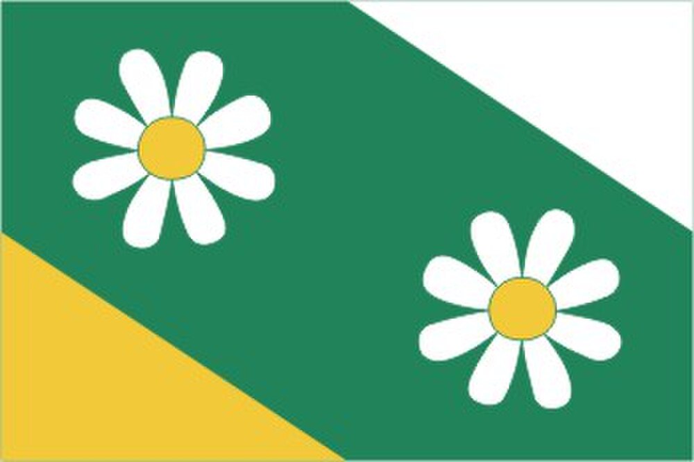
Flag Description: A green field featuring two right-angled triangles: a yellow triangle in the lower hoist corner (with legs along the hoist edge and half of the bottom edge) and a white triangle in the upper fly corner (with legs along half of the top edge and the fly edge). The green field is charged with two white chamomile blossoms with yellow centers, one positioned above the yellow triangle and the other below the white triangle. The width-to-length ratio is 2:3.
Symbolism: The chamomile blossoms (in Czech 'heřmánek') serve as a canting symbol referencing the name of the municipality, Heřmanov. The green tincture represents the rural landscape, local forests, and the historical founding of the settlement through forest clearing (reflected in its historic German name Hermansschlag). Yellow and white (gold and silver) correspond to the heraldic tinctures of the municipal coat of arms.
Statistics
Area
5.39 km²
Population
233