Hlína
Digital Passport
Nomenclature and Geography
Category: City / Municipality
Summary
About the place: Hlína is a municipality in the Brno-Country District in the South Moravian Region of the Czech Republic, situated in the wooded, undulating landscape of the Bobrava Highlands approximately 4 km northeast of Ivančice. The peaceful rural village is well known for the Vladimír Menšík observation tower located at the highest point of its territory.
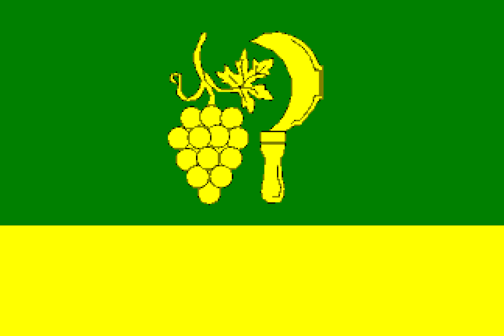
Flag Description: The flag consists of two horizontal stripes, green and yellow, in a width ratio of 2:1. In the green stripe are a bunch of grapes with a leaf and tendril, and a vigneron's billhook pointing with its tip and blade towards the hoist, all yellow. The ratio of flag width to length is 2:3.
Symbolism: The symbols derive from the historical municipal seal dating from 1600. The golden grape bunch and the vigneron's knife (billhook) commemorate the village's centuries-old viticultural and agricultural tradition. The green field represents the surrounding forests and natural landscape of the Bobrava Highlands, while the yellow (gold) tincture signifies prosperity, sunlight, and the ripeness of the harvest.
Statistics
Area
8.34 km²
Population
315