Hněvotín
Digital Passport
Nomenclature and Geography
Category: City / Municipality
Summary
About the place: The municipality of Hněvotín is situated in the Olomouc District, about 6 km southwest of the city of Olomouc, in the flat and fertile landscape of Haná. It covers an area of 11.73 km² and has over 1,900 residents.
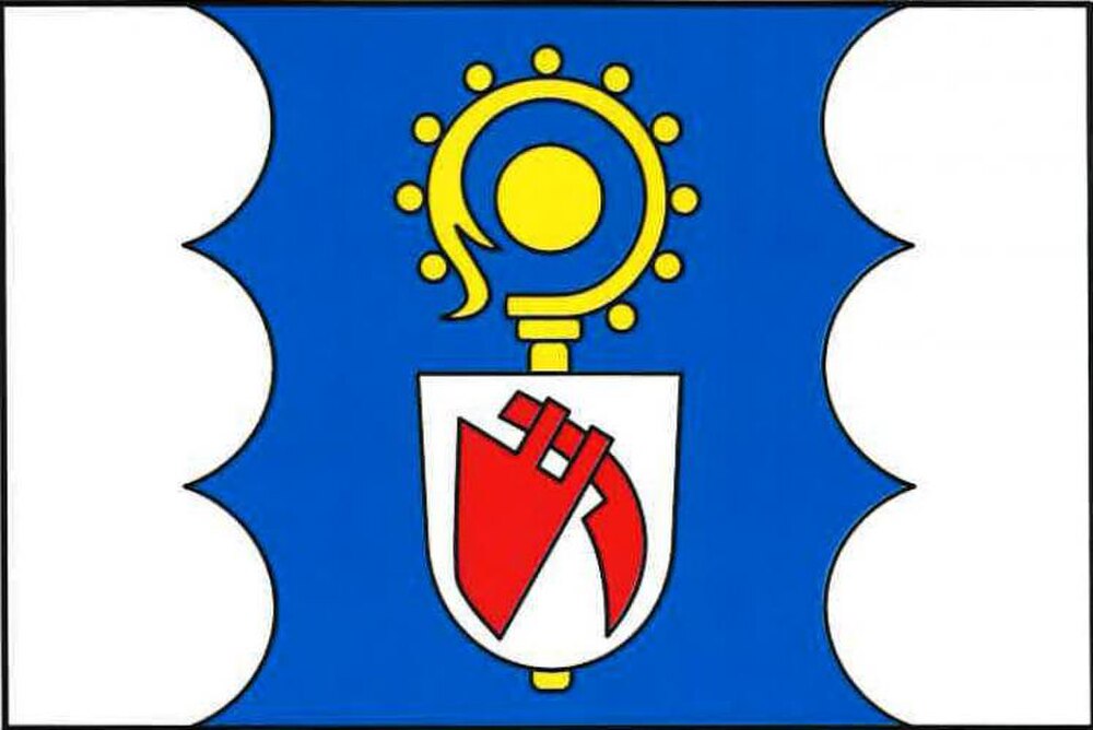
Flag Description: Hněvotín is a municipality located in the fertile Haná lowland within the Olomouc District of the Olomouc Region, approximately 6 km southwest of Olomouc. It is a growing agricultural and residential community with a long history and rich local traditions.
Symbolism: The golden crosier refers to the ecclesiastical heritage and Saint Leonard (the patron saint of the local church), who historically appeared on municipal seals; the disc in the crook evokes the local tradition of cheese-making (Olomouc curd cheese / tvarůžky). The plowshare and coulter in the small escutcheon symbolize the ancient agricultural heritage of the fertile Haná region, taken from historical seals. The blue and white colors emphasize purity and spiritual continuity.
Statistics
Area
11.73 km²
Population
1,903