Hodějice
Digital Passport
Nomenclature and Geography
Category: City / Municipality
Summary
About the place: Hodějice is a municipality in the Vyškov District of the South Moravian Region, located approximately 4 km southeast of Slavkov u Brna in the Litava river valley. The village is characterized by its agricultural traditions and local viticulture within the Velké Pavlovice wine subregion.
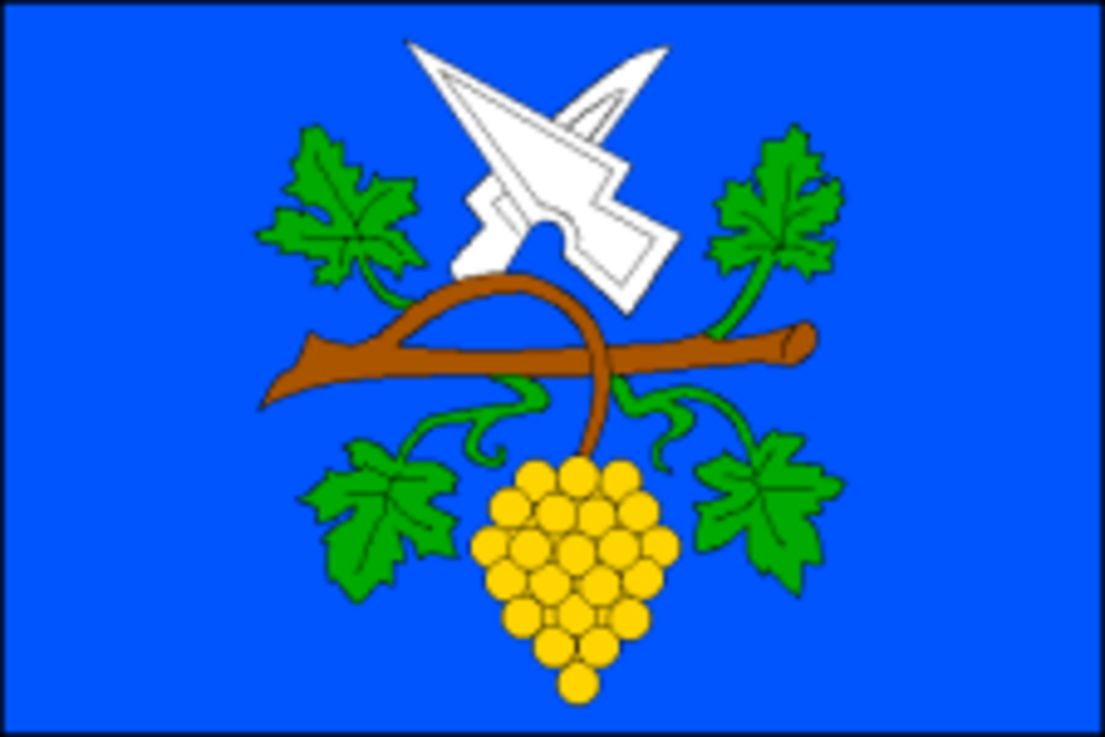
Flag Description: A blue field featuring a horizontal brown grapevine branch with four green leaves and a yellow bunch of grapes. Above the branch, a white coulter bendwise surmounted by a white ploughshare bendwise sinister, both pointing upwards. The ratio of width to length is 2:3.
Symbolism: The symbols derive from the historical seal of the municipality. The coulter and ploughshare represent arable farming, field labour, and the village's agricultural roots. The grapevine branch with four leaves and a cluster of grapes commemorates the longstanding local tradition of viticulture. The blue background evokes local waterways (particularly the Litava river) and serves as a dignified field for the white and yellow charges.
Statistics
Area
8.58 km²
Population
1,074