Hodonice
Digital Passport
Nomenclature and Geography
Category: City / Municipality
Summary
About the place: Hodonice is a rural municipality in the Tábor District of the South Bohemian Region, Czechia, situated about 4 km southeast of Bechyně near the Židova strouha natural monument. It is a quiet village with deep-rooted agricultural traditions.
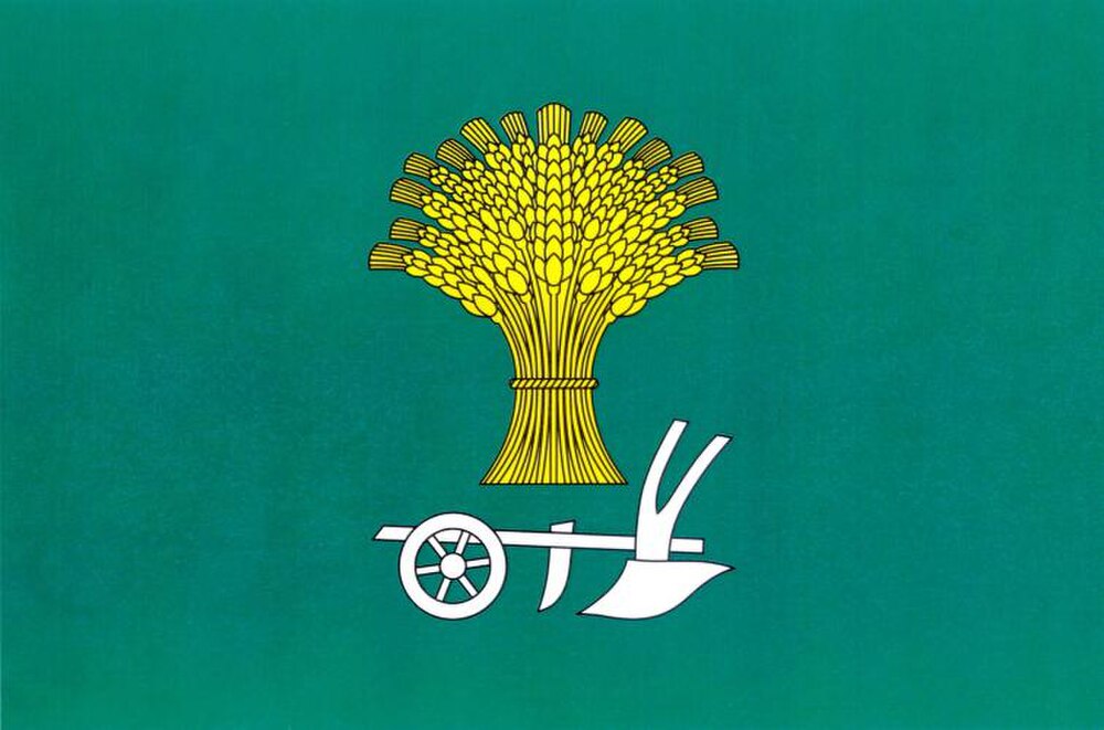
Flag Description: A green field with a yellow garb (wheat sheaf) above a white wheeled plough. Ratio of width to length is 2:3.
Symbolism: The green field represents the surrounding rural landscape, meadows, and forests. The golden (yellow) wheat sheaf (garb) and silver (white) wheeled plough symbolize traditional agriculture, farming, fertility, and the historical livelihood of the local community.
Flag Description: A green field with a yellow garb (wheat sheaf) above a white wheeled plough. Ratio of width to length is 2:3.
Symbolism: The green field represents the surrounding rural landscape, meadows, and forests. The golden (yellow) wheat sheaf (garb) and silver (white) wheeled plough symbolize traditional agriculture, farming, fertility, and the historical livelihood of the local community.
Statistics
Area
9.47 km²
Population
134