Holedeč
Digital Passport
Nomenclature and Geography
Category: City / Municipality
Summary
About the place: Holedeč is a municipality situated in the Louny District within the Ústí nad Labem Region of the Czech Republic, located approximately 8 km south of Žatec in the valley of the Blšanka River within the Žatec Basin on the edge of the Džbán Nature Park. Consisting of four parts (Holedeč, Holedeček, Stránky, and Veletice), it is known for its deep-rooted hop-growing tradition and a major local water treatment plant.
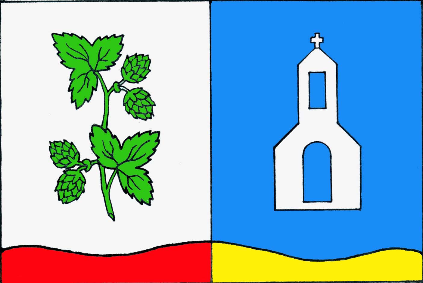
Flag Description: The flag consists of two vertical stripes, white at the hoist and blue at the fly. Along the lower edge of the sheet runs a wavy stripe vertically halved into red and yellow, featuring three crests and two troughs. The white stripe charges a green hop vine with two leaves and two pairs of hop cones; the blue stripe charges a white chapel with an open arched doorway and window, topped with a cross. The ratio of width to length of the sheet is 2:3.
Symbolism: The green hop vine with cones highlights the centuries-old tradition of Saaz hop cultivation essential to the village and the wider region. The white chapel represents the local Christian heritage and sacral monuments in the municipality and its constituent hamlets (including the local chapel and the Church of St. Bartholomew in Holedeček). The lower wavy stripe symbolizes the Blšanka River (historically called the Golden Brook), with its red and gold/yellow division referencing both the stream's historical name and the heraldic colors of the royal town of Žatec, which held lordship over Holedeč for centuries.
Flag Description: The flag consists of two vertical stripes, white at the hoist and blue at the fly. Along the lower edge of the sheet runs a wavy stripe vertically halved into red and yellow, featuring three crests and two troughs. The white stripe charges a green hop vine with two leaves and two pairs of hop cones; the blue stripe charges a white chapel with an open arched doorway and window, topped with a cross. The ratio of width to length of the sheet is 2:3.
Symbolism: The green hop vine with cones highlights the centuries-old tradition of Saaz hop cultivation essential to the village and the wider region. The white chapel represents the local Christian heritage and sacral monuments in the municipality and its constituent hamlets (including the local chapel and the Church of St. Bartholomew in Holedeček). The lower wavy stripe symbolizes the Blšanka River (historically called the Golden Brook), with its red and gold/yellow division referencing both the stream's historical name and the heraldic colors of the royal town of Žatec, which held lordship over Holedeč for centuries.
Statistics
Area
18.56 km²
Population
650