Horní Bojanovice
Digital Passport
Nomenclature and Geography
Category: City / Municipality
Summary
About the place: Horní Bojanovice is a Moravian wine-growing municipality in the Břeclav District, South Moravian Region, nestled in a valley of the Ždánice Forest near Hustopeče. It is known for its centuries-old viticultural heritage and vibrant local folk traditions.
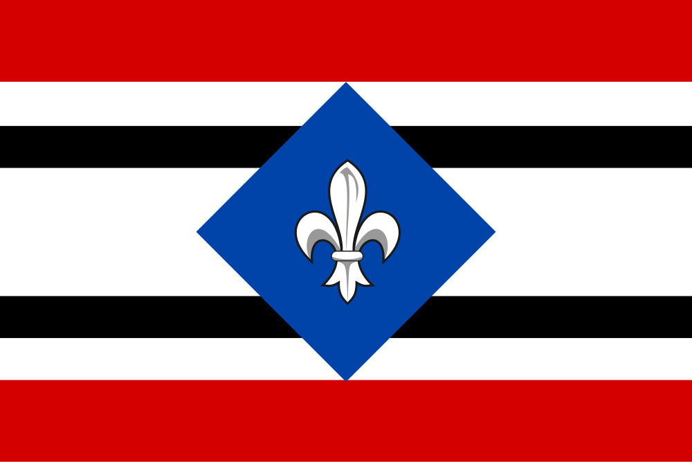
Flag Description: Horní Bojanovice is an agricultural and wine-producing municipality in Břeclav District, South Moravian Region, situated in a valley at the edge of the Ždánice Forest about 6 km northeast of Hustopeče.
Symbolism: The red and white stripes reflect traditional Moravian and Bohemian territorial colors as well as the arms of the Lords of Kunštát, former owners of the village. The black and white stripes, along with the blue diamond and white fleur-de-lis, reference the heraldry of other historical feudal lords (including the Lords of Drnovice). The fleur-de-lis also symbolizes Marian purity and spiritual patronage.
Statistics
Area
8.37 km²
Population
657