Horní Lomná
Digital Passport
Nomenclature and Geography
Category: City / Municipality
Summary
About the place: Horní Lomná is a mountain village situated in the Lomná River valley in the Frýdek-Místek District of the Moravian-Silesian Region. Located within the Beskydy Protected Landscape Area, it is a popular base for mountain tourism and a well-known pilgrimage site.
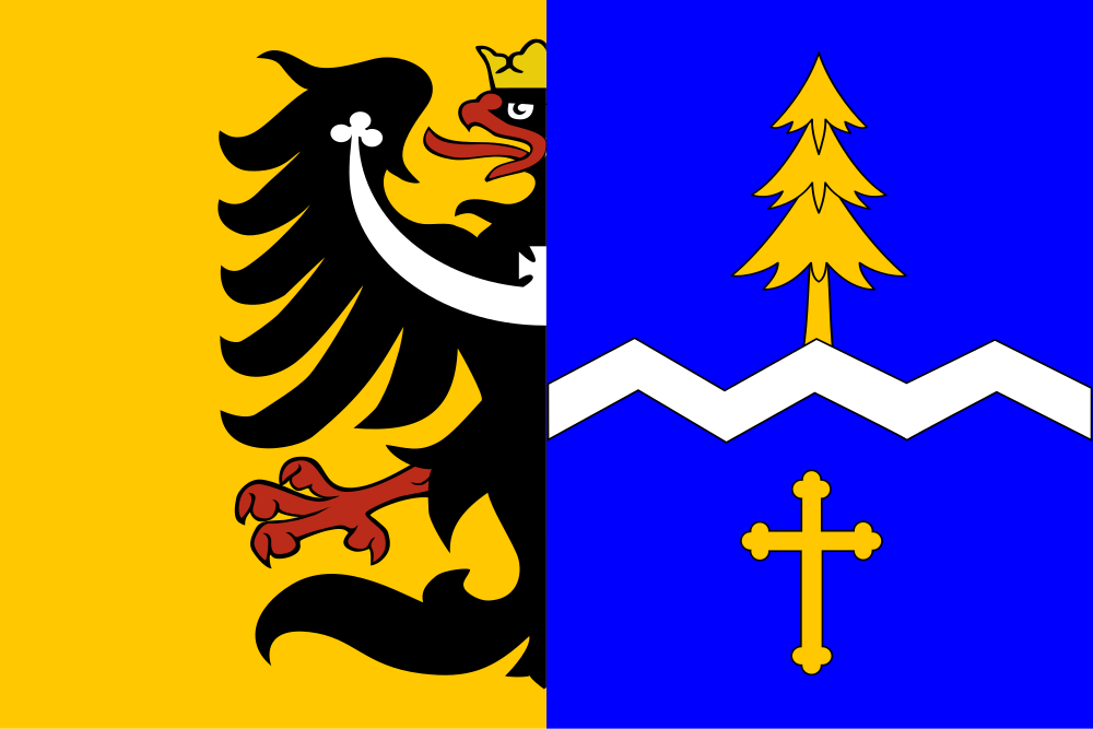
Flag Description: The flag consists of a yellow hoist section bearing a demi-Silesian eagle adjacent to a blue fly section. In the blue fly section, there is a horizontal white dancetty stripe with five angles (three peaks), one-sixteenth of the flag's width. A yellow conifer tree issues upwards from the stripe, and below it in the lower part is a yellow Latin trefoil cross. The width-to-length ratio is 2:3.
Symbolism: The demi-Silesian eagle denotes the village's historic belonging to Cieszyn Silesia. The zigzag dancetty stripe serves as a canting element referring to the name Lomná (alluding to Czech 'lom' or broken line). The conifer tree symbolizes the surrounding dense Beskydy mountain forests and natural wealth. The Latin trefoil cross highlights the local pilgrimage heritage and the neo-Gothic Church of the Exaltation of the Holy Cross. Blue and yellow are the traditional colours of Cieszyn Silesia.
Statistics
Area
24.70 km²
Population
382