Horní Loučky
Digital Passport
Nomenclature and Geography
Category: City / Municipality
Summary
About the place: Horní Loučky is a municipality in Brno-Country District in the South Moravian Region, situated in the undulating landscape of the Křižanov Highlands northwest of Tišnov.
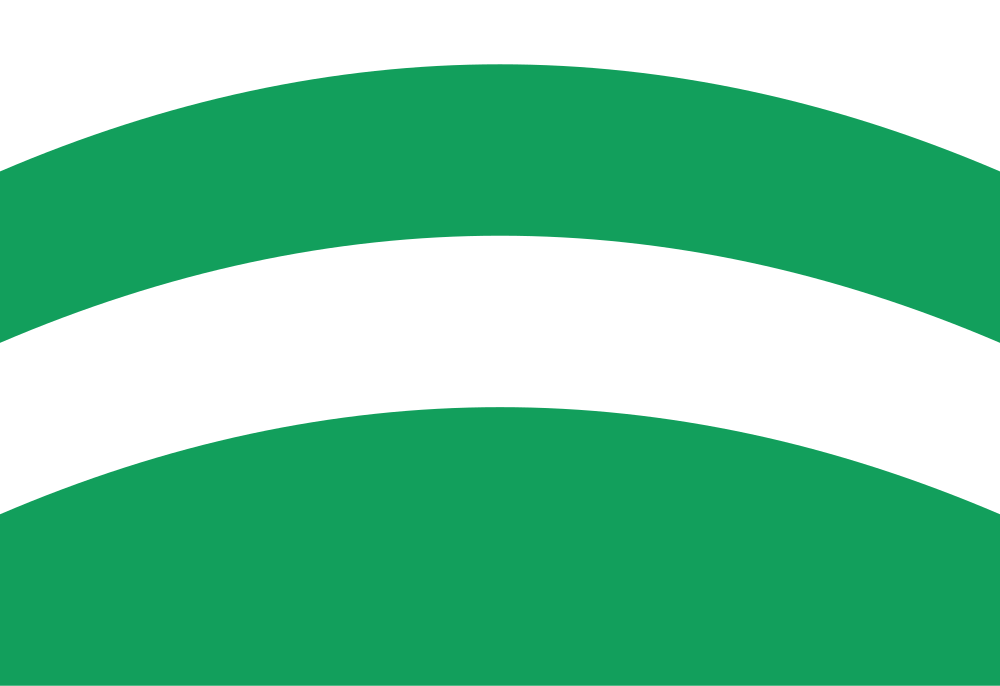
Flag Description: The flag consists of four horizontal stripes: white, green arched, white arched, and green convex with the crest at half the flag's width. The ratio of width to length is 2:3.
Symbolism: The white (silver) and green color scheme is derived from the municipal coat of arms. The green tincture and arched shapes represent the wooded hills, meadows, and undulating topography of the region, while the white refers to purity and the silver agricultural implements (coulter and ploughshare) recalling the village's farming tradition.
Statistics
Area
4.18 km²
Population
312