Horní Němčice
Digital Passport
Nomenclature and Geography
Category: City / Municipality
Summary
About the place: Horní Němčice is a small municipality in the Jindřichův Hradec District of the South Bohemian Region, situated in the historical territory of Moravia along the Studenský brook near the Bohemian-Moravian border. The surrounding rolling countryside lies on the main European drainage divide between the Elbe and Danube basins.
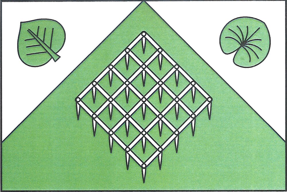
Flag Description: A green field with two touching white upper isosceles triangles; the hoist triangle charged with an erect linden leaf bendwise, the fly triangle with an erect water-lily leaf bendwise sinister. In the green field, a white agricultural harrow placed bendwise. The ratio of width to length is 2:3.
Symbolism: The white triangles and green field represent the municipality's forested countryside and location on the border ridge. The agricultural harrow placed bendwise symbolizes the long agricultural heritage and cultivation of the land. The linden leaf reflects local nature and Czech heritage, while the water-lily leaf evokes local watercourses, ponds, and historical ties to feudal arms.
Statistics
Area
4.17 km²
Population
85