Horní Poříčí (Strakonice District)
Digital Passport
Nomenclature and Geography
Category: City / Municipality
Summary
About the place: Horní Poříčí is a municipality in the Strakonice District of the South Bohemian Region, situated on the left bank of the Otava River about 9 km west of Strakonice and 7 km east of Horažďovice. It comprises the settlements of Horní Poříčí and Dolní Poříčí in a scenic river valley renowned for historic gold panning and milling traditions.
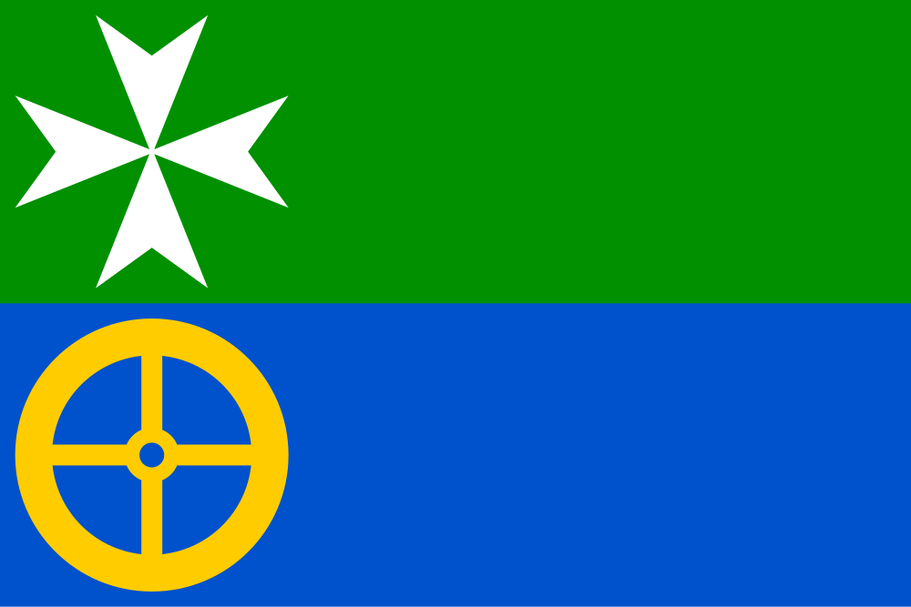
Flag Description: The flag consists of two horizontal stripes, green and blue. In the hoist section of the green stripe is a white Maltese cross, beneath which in the blue stripe is a yellow four-spoked wheel. The ratio of the flag's width to length is 2:3.
Symbolism: The green stripe represents the rural landscape, surrounding nature, and agriculture. The white Maltese cross denotes the historical rule of the Knights Hospitaller (Knights of Malta) based in nearby Strakonice, to whose domain Horní Poříčí belonged from the 15th century. The blue stripe symbolizes the Otava River and the Březový Stream, while the golden wheel commemorates the historic local watermills as well as the gold panning traditions along the Otava.
Statistics
Area
7.05 km²
Population
307