Horní Řepčice
Digital Passport
Nomenclature and Geography
Category: City / Municipality
Summary
About the place: Horní Řepčice is a small municipality situated in the Litoměřice District within the Ústí nad Labem Region, approximately 11 km northeast of Litoměřice. It lies in an agricultural landscape on the border of the České Středohoří mountain range and the Úštěk Highlands.
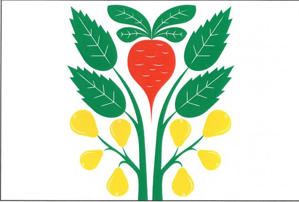
Flag Description: A white field, bearing in its upper half a red beetroot with four green leaves between two issuing and divergent green branches of a service tree (sorb tree), each with two erect green leaves one above the other and below four yellow fruits, the upper two erect and the lower two pendent. The ratio of the flag is 2:3.
Symbolism: The red beetroot serves as a canting charge referencing the municipality's name (Řepčice). The service tree (Sorbus domestica) branches and fruits represent a protected memorial service tree growing within the village's cadastre, which is a rare local botanical landmark and historical boundary tree.
Statistics
Area
2.61 km²
Population
98