Horní Slatina
Digital Passport
Nomenclature and Geography
Category: City / Municipality
Summary
About the place: Horní Slatina is a municipality in the Jindřichův Hradec District of the South Bohemian Region with approximately 130 inhabitants, situated in historical southwestern Moravia near Dačice. Featuring roots dating back to the 13th century, it is characterized by its agricultural heritage and the Romanesque-Gothic Church of St. Giles.
Flag Description: Horní Slatina is a small municipality and village located in the Jindřichův Hradec District within the South Bohemian Region of the Czech Republic (historically part of southwestern Moravia in the Dačice area), set in an undulating agricultural landscape along the Slatinský Brook. The village is dominated by the originally Romanesque Church of Saint Giles dating from the 13th century.
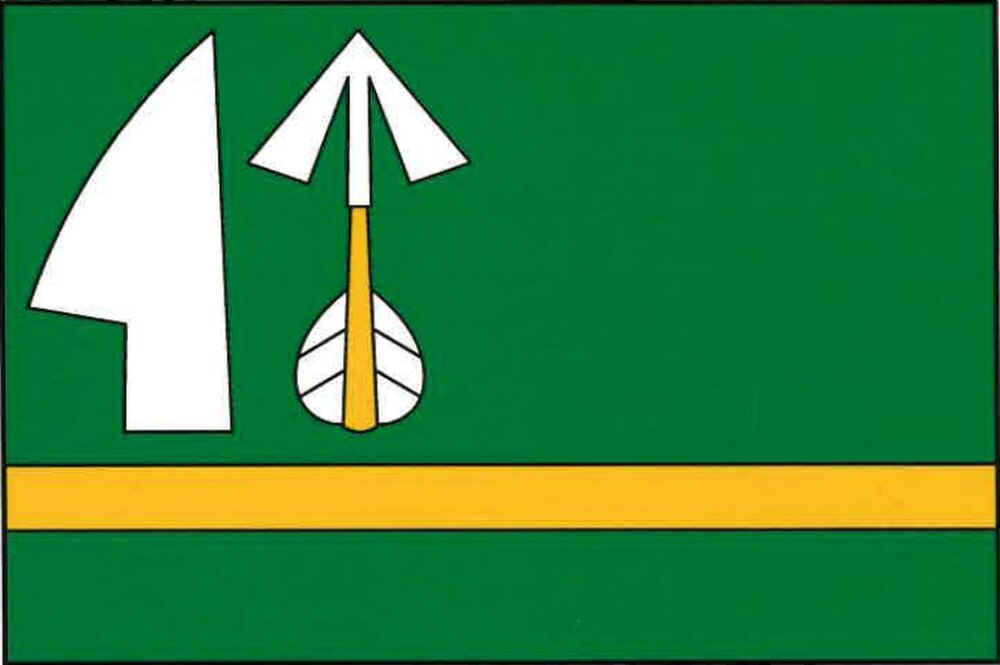
Symbolism: The green field represents the rural landscape and reflects the etymology of the village's name (slatina referring to marshland, fen, or peat bogs). The yellow stripe (fess) symbolizes prosperity and fertile soil. The silver plowshare denotes the enduring agrarian tradition and farming heritage of the community, while the yellow arrow with a silver point and fletching is derived from historical heraldic elements associated with early local landowners and village seal motifs.
Flag Description: Horní Slatina is a small municipality and village located in the Jindřichův Hradec District within the South Bohemian Region of the Czech Republic (historically part of southwestern Moravia in the Dačice area), set in an undulating agricultural landscape along the Slatinský Brook. The village is dominated by the originally Romanesque Church of Saint Giles dating from the 13th century.
Symbolism: The green field represents the rural landscape and reflects the etymology of the village's name (slatina referring to marshland, fen, or peat bogs). The yellow stripe (fess) symbolizes prosperity and fertile soil. The silver plowshare denotes the enduring agrarian tradition and farming heritage of the community, while the yellow arrow with a silver point and fletching is derived from historical heraldic elements associated with early local landowners and village seal motifs.
Statistics
Area
5.84 km²
Population
132