Hortolândia
Digital Passport
Nomenclature and Geography
Category: City / Municipality
Summary
About the place: Hortolândia is a Brazilian municipality located in the interior of the state of São Paulo within the Metropolitan Region of Campinas. The city serves as an important industrial and technological hub in the region.
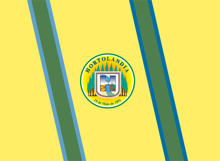
Flag Description: The flag consists of a yellow field crossed by two diagonal green bands, each bordered on its outer side by a narrow blue stripe. In the center of the flag is a circular municipal emblem. The emblem features a yellow-to-white gradient background, displaying a shield with a stylized letter 'H' containing a landscape, green trees in the background, the arc banner with 'HORTOLÂNDIA' above, and the date '19 de Maio de 1991' below.
Symbolism: The yellow color symbolizes the municipality's wealth and prosperity. Green represents nature and the region's agricultural origin, while blue refers to local water resources. The central emblem highlights municipal identity, with the date May 19, 1991, commemorating the political-administrative emancipation of the municipality.
Statistics
Area
62.42 km²
Population
236,641