Hrádek nad Nisou
Digital Passport
Nomenclature and Geography
Category: City / Municipality
Summary
About the place: Hrádek nad Nisou is a border town in the Liberec Region of the Czech Republic, situated along the Lusatian Neisse river in immediate proximity to the Czech-German-Polish tripoint. It serves as an important local hub at the foothills of the Lusatian Mountains, featuring a rich industrial heritage and notable cross-border recreational importance.
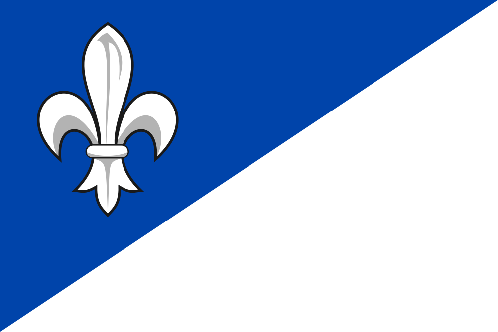
Flag Description: The flag is divided diagonally (per bend) from the upper hoist to the lower fly into blue and white. In the upper blue field is a white fleur-de-lis. The ratio of width to length is 2:3.
Symbolism: The municipal flag, officially granted by the Czech Parliament in 2014, derives its design directly from the historic coat of arms of the Grabštejn dominion. The blue and white tinctures reflect the shield and the silver masonry, while the white fleur-de-lis represents the three silver lilies featured in the city's arms, introduced during the 16th-century administration under Georg Mehl of Strelitz and traditionally symbolizing purity and nobility.
Statistics
Area
48.54 km²
Population
8,009