Hranice (Přerov District)
Digital Passport
Nomenclature and Geography
Category: City / Municipality
Summary
About the place: Hranice (often known as Hranice na Moravě) is a historic town in the Přerov District within the Olomouc Region of the Czech Republic, situated along the Bečva River in the Moravian Gate. It serves as an important industrial, transport, and cultural center known for the nearby Hranice Abyss and Zbrašov Aragonite Caves.
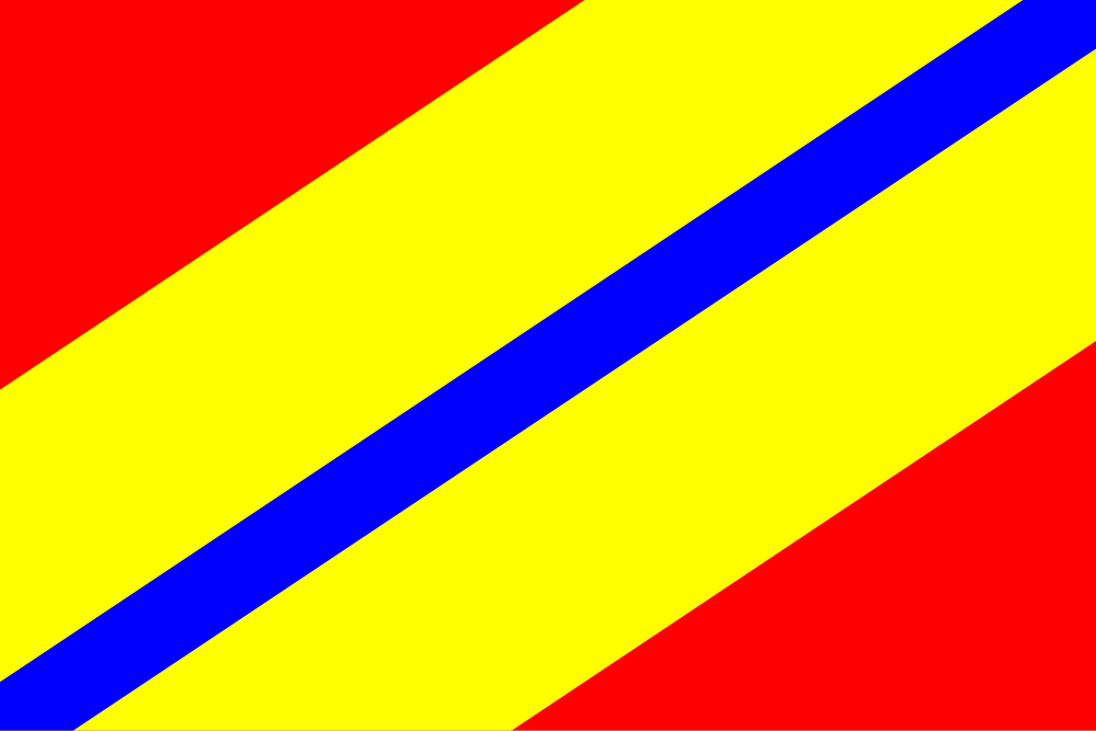
Flag Description: The flag consists of five bendwise (diagonal from upper hoist to lower fly) stripes of red, yellow, blue, yellow, and red in width proportions of 4:3:1:3:4. The ratio of width to length is 2:3.
Symbolism: The flag, designed by vexillologist Vladimír Baar and granted in 1993, derives its colors from the historical municipal coat of arms (red, yellow/gold, and blue). The diagonal orientation and layout symbolize the geographic location of the town in the Moravian Gate corridor between the Oder Highlands and the Beskid foothills, while the thin central blue stripe represents the Bečva River.
Flag Description: The flag consists of five bendwise (diagonal from upper hoist to lower fly) stripes of red, yellow, blue, yellow, and red in width proportions of 4:3:1:3:4. The ratio of width to length is 2:3.
Symbolism: The flag, designed by vexillologist Vladimír Baar and granted in 1993, derives its colors from the historical municipal coat of arms (red, yellow/gold, and blue). The diagonal orientation and layout symbolize the geographic location of the town in the Moravian Gate corridor between the Oder Highlands and the Beskid foothills, while the thin central blue stripe represents the Bečva River.
Statistics
Area
49.78 km²
Population
17,969